French Farm Suburbs & Region, French Farm Map & Postcodes in French Farm, Banks Peninsula, Canterbury
French Farm Postcodes, French Farm ZipCodes, French Farm , French Farm Canterbury, French Farm Suburbs, French Farm Region, French Farm Map, French Farm Area
French Farm Region (Hilltop Region)
French Farm Suburbs
French Farm is a suburb place type in Banks Peninsula, Canterbury, NZ. It contains 2 suburbs or localities.French Farm district
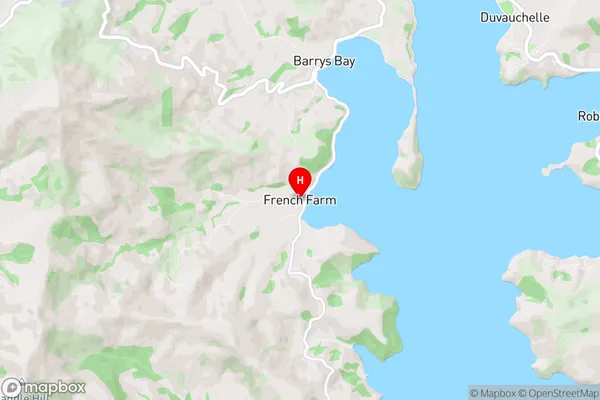
Banks PeninsulaFrench Farm Region Map
French Farm Introduction
The French Farm is a historic property located in Canterbury, New Zealand. It was built in the 1860s and is a well-preserved example of a French provincial farmstead. The farmstead includes a main house, barn, stables, and a variety of outbuildings. The property is surrounded by picturesque gardens and farmland and is located on the banks of the Hurunui River. The French Farm is a popular tourist attraction and is open to the public for tours. It is also used as a venue for weddings and other events.French Farm Region
French Farm City
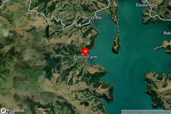
French Farm Satellite Map
Full Address
French Farm, Banks Peninsula, CanterburyFrench Farm Coordinates
-43.778067,172.907712 (Latitude / Longitude)French Farm Map in NZ
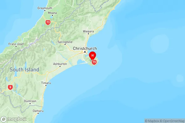
NZ Island
South IslandCountry
French Farm Area Map (Polygon)
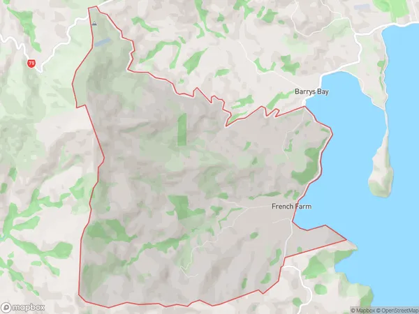
Name
French FarmAdditional Name
HilltopLocal Authority
Christchurch City
French Farm Suburbs (Sort by Population)
Wainui
Wainui - 111French Farm
French Farm - 48