French Farm Area, French Farm Postcode(7582) & Map in French Farm
French Farm Area, French Farm Postcode(7582) & Map in French Farm, Christchurch City, New Zealand
French Farm, Christchurch City, New Zealand
French Farm Postcodes
French Farm Area (estimated)
16.1 square kilometersFrench Farm Population (estimated)
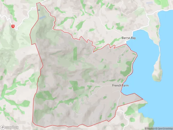
48 people live in French Farm, Banks Peninsula Community, NZFrench Farm Suburb Area Map (Polygon)
French Farm Introduction
French Farm is a historic farmstead located in French Farm, Canterbury, New Zealand. It was established in the 1850s and is considered one of the oldest farms in the region. The farmstead includes a variety of historic buildings, such as a farmhouse, barn, and stables. It is also home to a collection of vintage cars and machinery. French Farm is a popular tourist attraction and is open to the public for tours and events.Region
Major City
Suburb Name
French FarmOther Name(s)
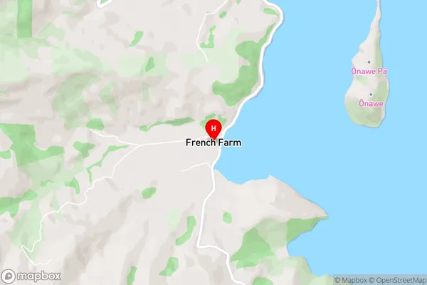
HilltopFrench Farm Area Map (Street)
Local Authority
Christchurch CityFull Address
French Farm, Christchurch City, New ZealandAddress Type
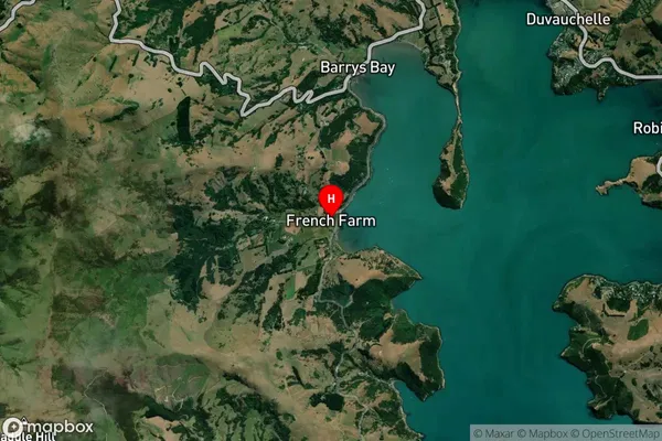
Locality in Major Locality French FarmFrench Farm Suburb Map (Satellite)
Country
Main Region in AU
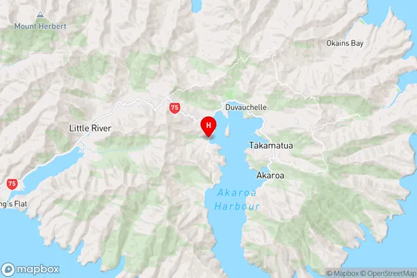
CanterburyFrench Farm Region Map
Coordinates
-43.7780668,172.9077117 (latitude/longitude)Distances
The distance from French Farm, French Farm, Christchurch City to NZ Top 10 Cities