Duvauchelle Suburbs & Region, Duvauchelle Map & Postcodes in Duvauchelle, Banks Peninsula, Canterbury
Duvauchelle Postcodes, Duvauchelle ZipCodes, Duvauchelle , Duvauchelle Canterbury, Duvauchelle Suburbs, Duvauchelle Region, Duvauchelle Map, Duvauchelle Area
Duvauchelle Region
Duvauchelle Suburbs
Duvauchelle is a suburb place type in Banks Peninsula, Canterbury, NZ. It contains 1 suburbs or localities.Duvauchelle Postcodes
Duvauchelle district
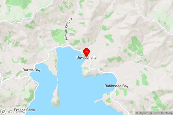
Banks PeninsulaDuvauchelle Region Map
Duvauchelle Introduction
Duvauchelle is a small rural community located in the Canterbury region of New Zealand. It is situated in the Ashburton District, approximately 10 kilometers south of Ashburton town. The community has a population of around 50 people and is known for its picturesque rural setting, with rolling hills and farmland surrounding the village. Duvauchelle is surrounded by picturesque countryside and is a popular destination for outdoor enthusiasts, including hikers, cyclists, and hunters. The area is also home to several historic buildings, including the Duvauchelle Hotel, which was built in the 1880s and is a popular stop for travelers passing through the region.Duvauchelle Region
Duvauchelle City
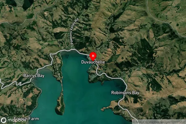
Duvauchelle Satellite Map
Full Address
Duvauchelle, Banks Peninsula, CanterburyDuvauchelle Coordinates
-43.755427,172.944599 (Latitude / Longitude)Duvauchelle Map in NZ
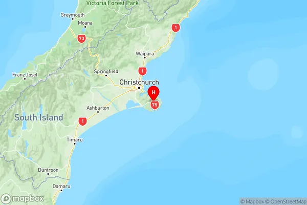
NZ Island
South IslandCountry
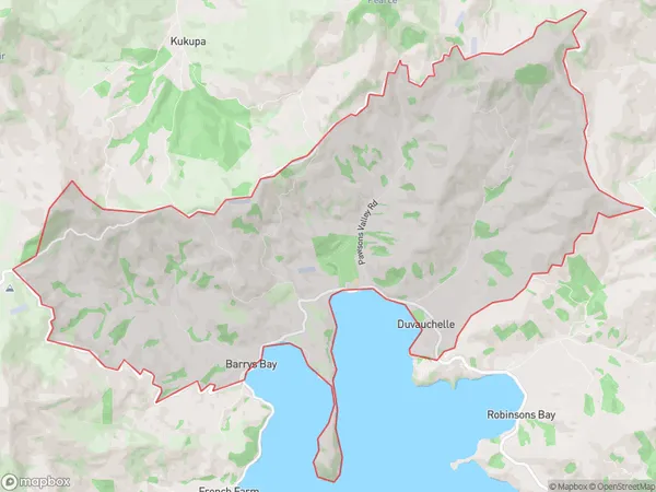
Duvauchelle Area Map (Polygon)
Name
DuvauchelleAdditional Name
Local Authority
Christchurch City
Duvauchelle Suburbs (Sort by Population)
Duvauchelle
Duvauchelle - 205