Duvauchelle Area, Duvauchelle Postcode(7581) & Map in Duvauchelle
Duvauchelle Area, Duvauchelle Postcode(7581) & Map in Duvauchelle, Christchurch City, New Zealand
Duvauchelle, Christchurch City, New Zealand
Duvauchelle Area (estimated)
30.7 square kilometersDuvauchelle Population (estimated)
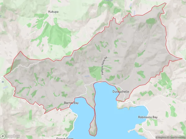
205 people live in Duvauchelle, Banks Peninsula Community, NZDuvauchelle Suburb Area Map (Polygon)
Duvauchelle Introduction
Duvauchelle is a small rural community in Canterbury, New Zealand, located in the Ashburton District. It is known for its picturesque rural setting, with rolling hills and farmland surrounding the village. The community has a primary school, a church, and a small convenience store. Duvauchelle is located approximately 30 minutes from Ashburton and 1 hour from Christchurch, making it a convenient location for those who enjoy the outdoors and a quiet lifestyle.Region
Major City
Suburb Name
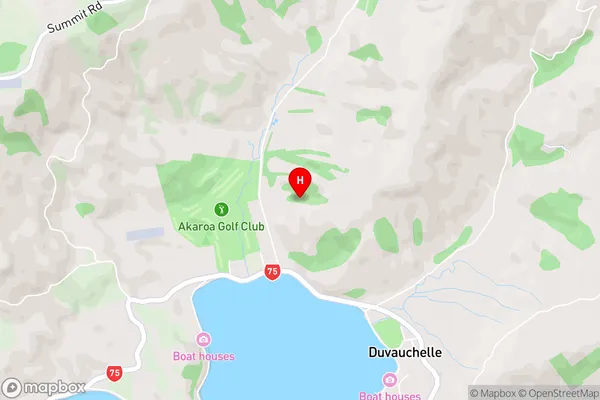
DuvauchelleDuvauchelle Area Map (Street)
Local Authority
Christchurch CityFull Address
Duvauchelle, Christchurch City, New ZealandAddress Type
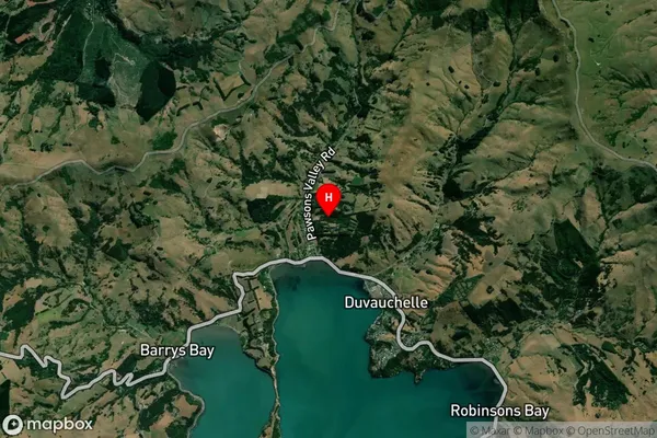
Locality in Major Locality DuvauchelleDuvauchelle Suburb Map (Satellite)
Country
Main Region in AU
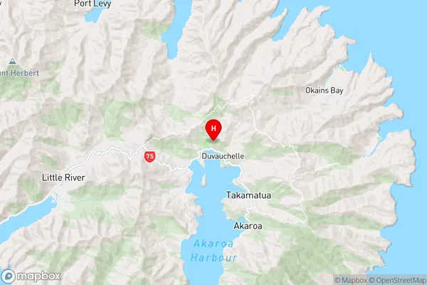
CanterburyDuvauchelle Region Map
Coordinates
-43.7459815,172.935588247905 (latitude/longitude)Distances
The distance from Duvauchelle, Duvauchelle, Christchurch City to NZ Top 10 Cities