Ngahere Suburbs & Region, Ngahere Map & Postcodes in Ngahere, Grey, West Coast
Ngahere Postcodes, Ngahere ZipCodes, Ngahere , Ngahere West Coast, Ngahere Suburbs, Ngahere Region, Ngahere Map, Ngahere Area
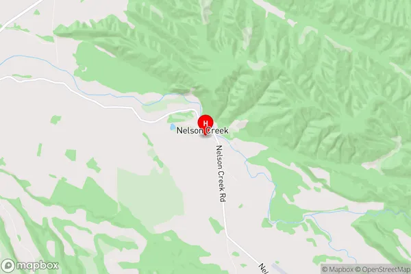
Ngahere Region (Matai, Nelson Creek Region)
Ngahere Suburbs
Ngahere is a suburb place type in Grey, West Coast, NZ. It contains 0 suburbs or localities.Ngahere district
GreyNgahere Region Map
Ngahere Introduction
Ngahere is a small rural community on the West Coast of New Zealand's South Island. It is located in the Grey District and is surrounded by stunning natural scenery, including the Ngahere Forest and the Ngahere River. The community has a population of around 100 people and is known for its friendly and welcoming atmosphere. The area is popular with tourists and outdoor enthusiasts, who enjoy hiking, fishing, and hunting in the surrounding forests and rivers. Ngahere also has a primary school and a small community hall, which hosts regular events and gatherings for the local community.Ngahere Region
Ngahere City
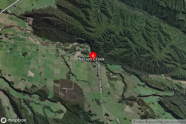
Ngahere Satellite Map
Full Address
Ngahere, Grey, West CoastNgahere Coordinates
-42.407624,171.518662 (Latitude / Longitude)Ngahere Map in NZ
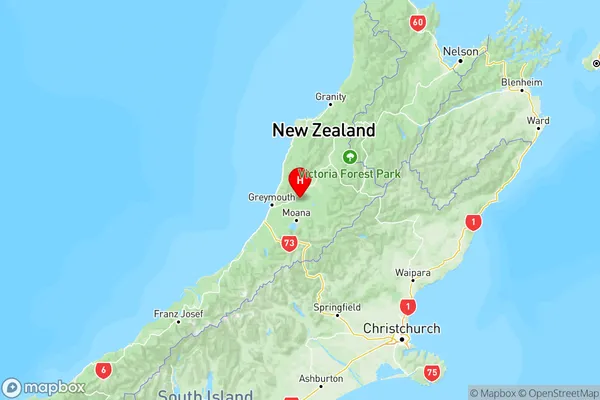
NZ Island
South IslandCountry
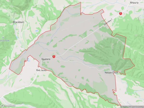
Ngahere Area Map (Polygon)
Name
NgahereAdditional Name
Matai, Nelson CreekLocal Authority
Grey District
Ngahere Suburbs (Sort by Population)
Ngahere also known as Matai, Nelson Creek. Ngahere suburb has around
63.8 square
kilometers.There are more than 251 people (estimated)
live in Ngahere, Dobson, West Coast, New Zealand.