Ngahere Area, Ngahere Postcode(7804) & Map in Ngahere
Ngahere Area, Ngahere Postcode(7804) & Map in Ngahere, Grey District, New Zealand
Ngahere, Grey District, New Zealand
Ngahere Postcodes
Ngahere Area (estimated)
63.8 square kilometersNgahere Population (estimated)
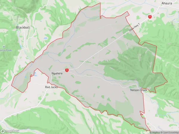
251 people live in Ngahere, West Coast, NZNgahere Suburb Area Map (Polygon)
Ngahere Introduction
Ngahere is a small rural community on the West Coast of New Zealand's South Island. It is located in the Grey District and is known for its scenic surroundings, including the Ngahere Forest and the Ngahere River. The community has a population of around 100 people and is home to a primary school, a post office, and a small supermarket. Ngahere is surrounded by natural beauty, with many outdoor activities to enjoy, such as hiking, fishing, and hunting. The area is also known for its rich cultural heritage, with traditional Maori practices still being practiced in the community.Region
Major City
Suburb Name
NgahereOther Name(s)
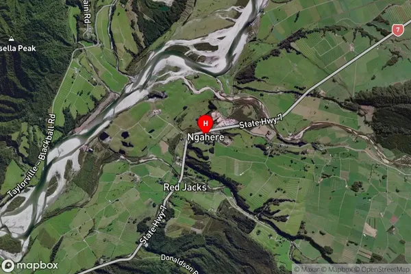
Matai, Nelson CreekNgahere Area Map (Street)

Local Authority
Grey DistrictFull Address
Ngahere, Grey District, New ZealandAddress Type
Locality in Major Locality NgahereNgahere Suburb Map (Satellite)
Country
Main Region in AU
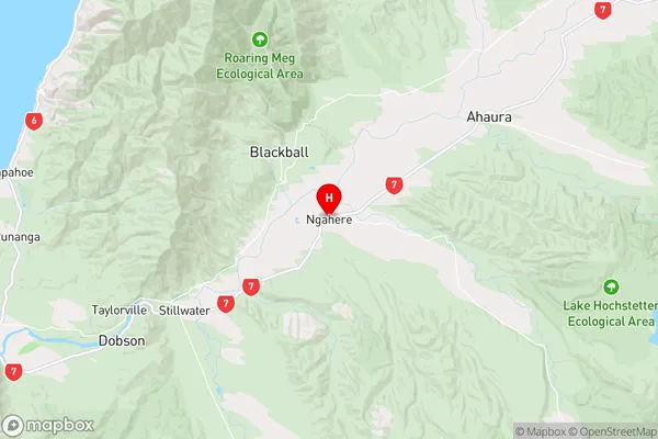
West CoastNgahere Region Map
Coordinates
-42.3951292,171.4431898 (latitude/longitude)Distances
The distance from Ngahere, Ngahere, Grey District to NZ Top 10 Cities