Karoro Suburbs & Region, Karoro Map & Postcodes in Karoro, Grey, West Coast
Karoro Postcodes, Karoro ZipCodes, Karoro , Karoro West Coast, Karoro Suburbs, Karoro Region, Karoro Map, Karoro Area
Karoro Region
Karoro Suburbs
Karoro is a suburb place type in Grey, West Coast, NZ. It contains 0 suburbs or localities.Karoro Postcodes
Karoro district
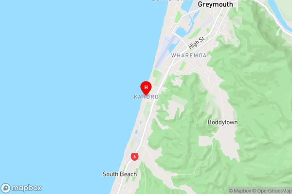
GreyKaroro Region Map
Karoro Introduction
Karoro is a small rural community on the West Coast of New Zealand's South Island. It is located in the Grey District and is known for its scenic surroundings, including the Karoro River and the surrounding forest. The community has a population of around 100 people and is home to a primary school, a post office, and a small supermarket. Karoro is a popular destination for outdoor enthusiasts, with many hiking and tramping tracks in the area. The community also hosts a annual music festival, which attracts visitors from around the region.Karoro Region
Karoro City
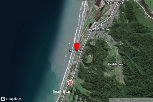
Karoro Satellite Map
Full Address
Karoro, Grey, West CoastKaroro Coordinates
-42.474172,171.183522 (Latitude / Longitude)Karoro Map in NZ
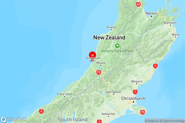
NZ Island
South IslandCountry
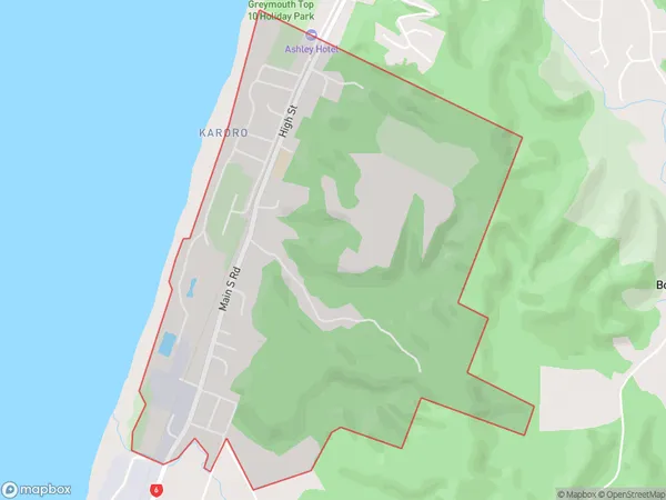
Karoro Area Map (Polygon)
Name
KaroroAdditional Name
Local Authority
Grey District
Karoro Suburbs (Sort by Population)
Karoro suburb has around
3.3 square
kilometers.There are more than 950 people (estimated)
live in Karoro, Greymouth, West Coast, New Zealand.