Karoro Area, Karoro Postcode(7840) & Map in Karoro
Karoro Area, Karoro Postcode(7840) & Map in Karoro, Grey District, New Zealand
Karoro, Grey District, New Zealand
Karoro Area (estimated)
3.3 square kilometersKaroro Population (estimated)
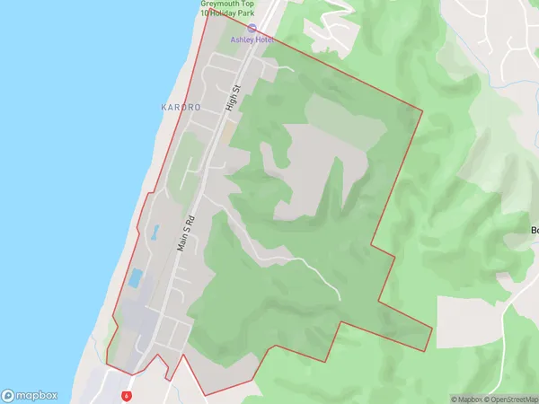
950 people live in Karoro, West Coast, NZKaroro Suburb Area Map (Polygon)
Karoro Introduction
Karoro is a small rural community on the West Coast of New Zealand's South Island. It is located in the Grey District and is known for its scenic river and forest surroundings. The community has a population of around 100 people and is home to a primary school, a post office, and a small supermarket. Karoro is a popular destination for outdoor enthusiasts, with nearby hiking and fishing opportunities. The area is also known for its rich cultural heritage, with several historic buildings and sites located within the community.Region
Major City
Suburb Name
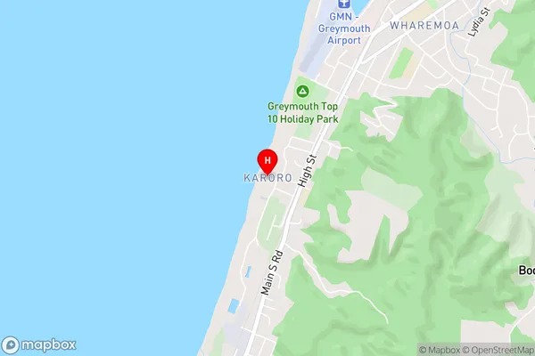
KaroroKaroro Area Map (Street)
Local Authority
Grey DistrictFull Address
Karoro, Grey District, New ZealandAddress Type
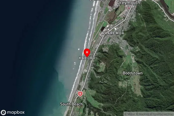
Suburb in Town GreymouthKaroro Suburb Map (Satellite)
Country
Main Region in AU
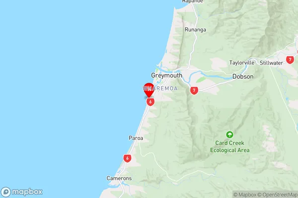
West CoastKaroro Region Map
Coordinates
-42.4741723,171.1835218 (latitude/longitude)Distances
The distance from Karoro, Greymouth, Grey District to NZ Top 10 Cities