Kaiata Suburbs & Region, Kaiata Map & Postcodes in Kaiata, Grey, West Coast
Kaiata Postcodes, Kaiata ZipCodes, Kaiata , Kaiata West Coast, Kaiata Suburbs, Kaiata Region, Kaiata Map, Kaiata Area
Kaiata Region (Omoto Region)
Kaiata Suburbs
Kaiata is a suburb place type in Grey, West Coast, NZ. It contains 0 suburbs or localities.Kaiata Postcodes
Kaiata district
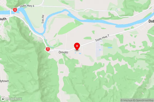
GreyKaiata Region Map
Kaiata Introduction
Kaiata is a small settlement on the West Coast of New Zealand's South Island. It is located in the Grey District and is situated near the mouth of the Grey River. The settlement has a population of around 100 people and is known for its scenic surroundings and outdoor activities such as hiking, fishing, and hunting. Kaiata is also home to a small community hall and a primary school. The area was originally settled by Māori tribes and has a rich cultural heritage. The nearby Grey River is a popular spot for whitewater rafting and fishing, and the surrounding forests are home to a variety of wildlife, including kea, tui, and kiwi.Kaiata Region
Kaiata City
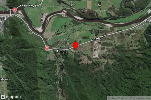
Kaiata Satellite Map
Full Address
Kaiata, Grey, West CoastKaiata Coordinates
-42.465886,171.261382 (Latitude / Longitude)Kaiata Map in NZ
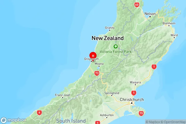
NZ Island
South IslandCountry
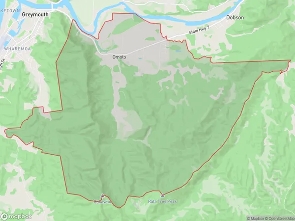
Kaiata Area Map (Polygon)
Name
KaiataAdditional Name
OmotoLocal Authority
Grey District
Kaiata Suburbs (Sort by Population)
Kaiata also known as Omoto. Kaiata suburb has around
64.5 square
kilometers.There are more than 315 people (estimated)
live in Kaiata, Greymouth, West Coast, New Zealand.