Kaiata Area, Kaiata Postcode(7805) & Map in Kaiata
Kaiata Area, Kaiata Postcode(7805) & Map in Kaiata, Grey District, New Zealand
Kaiata, Grey District, New Zealand
Kaiata Postcodes
Kaiata Area (estimated)
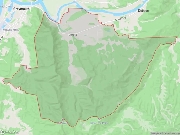
64.5 square kilometersKaiata Population (estimated)
315 people live in Kaiata, West Coast, NZKaiata Suburb Area Map (Polygon)
Kaiata Introduction
Kaiata is a small rural community on the West Coast of New Zealand's South Island. It is located in the Grey District and is known for its scenic surroundings, including the Kaiata River and the surrounding mountains. The community has a population of around 100 people and is home to a primary school, a post office, and a small supermarket. Kaiata is a popular destination for outdoor enthusiasts, with many hiking and tramping tracks in the area. The community also hosts a annual music festival, which attracts visitors from around the region.Region
Major City
Suburb Name
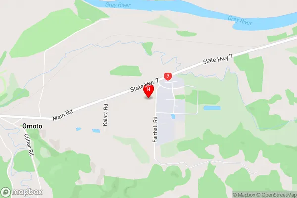
KaiataOther Name(s)
OmotoKaiata Area Map (Street)
Local Authority
Grey DistrictFull Address
Kaiata, Grey District, New ZealandAddress Type
Suburb in Town GreymouthKaiata Suburb Map (Satellite)

Country
Main Region in AU
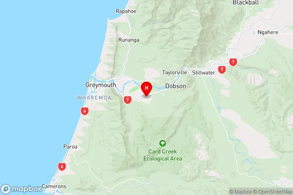
West CoastKaiata Region Map
Coordinates
-42.4630432,171.2724575 (latitude/longitude)Distances
The distance from Kaiata, Greymouth, Grey District to NZ Top 10 Cities