Hohonu Suburbs & Region, Hohonu Map & Postcodes in Hohonu, Grey, West Coast
Hohonu Postcodes, Hohonu ZipCodes, Hohonu , Hohonu West Coast, Hohonu Suburbs, Hohonu Region, Hohonu Map, Hohonu Area
Hohonu Region (Greenstone (Pounamu), Taramakau Region)
Hohonu Suburbs
Hohonu is a suburb place type in Grey, West Coast, NZ. It contains 0 suburbs or localities.Hohonu Postcodes
Hohonu district
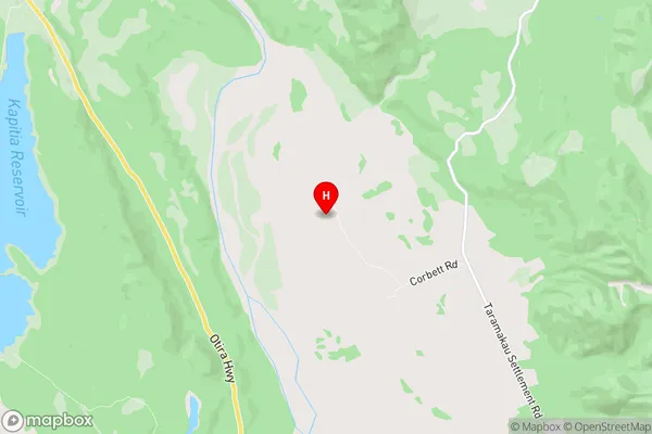
GreyHohonu Region Map
Hohonu Introduction
Hohonu is a small settlement on the West Coast of New Zealand's South Island. It is located in the Grey District and is situated near the mouth of the Hohonu River. The settlement has a population of around 100 people and is known for its scenic surroundings, including the Hohonu Forest Park. The area is popular with tourists and outdoor enthusiasts, who enjoy activities such as hiking, fishing, and hunting. Hohonu also has a primary school and a small community hall. The settlement was first established in the 1880s by settlers from the North Island. The name "Hohonu" comes from the Māori language, and it means "the place of the red tussock." The area was originally used for farming and forestry, but today it is primarily a residential area.Hohonu Region
Hohonu City
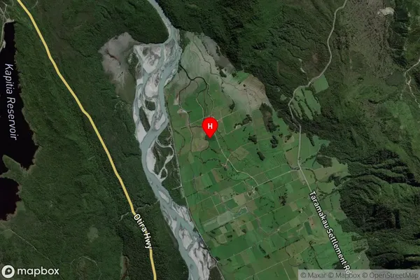
Hohonu Satellite Map
Full Address
Hohonu, Grey, West CoastHohonu Coordinates
-42.680211,171.246921 (Latitude / Longitude)Hohonu Map in NZ
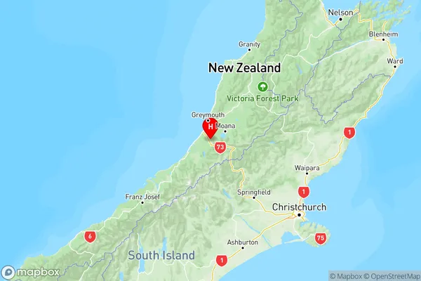
NZ Island
South IslandCountry
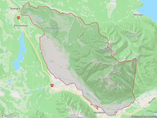
Hohonu Area Map (Polygon)
Name
HohonuAdditional Name
Greenstone (Pounamu), TaramakauLocal Authority
Grey District
Hohonu Suburbs (Sort by Population)
Hohonu also known as Greenstone (Pounamu), Taramakau. Hohonu suburb has around
148.1 square
kilometers.There are more than 35 people (estimated)
live in Hohonu, Kumara, West Coast, New Zealand.