Gladstone Suburbs & Region, Gladstone Map & Postcodes in Gladstone, Grey, West Coast
Gladstone Postcodes, Gladstone ZipCodes, Gladstone , Gladstone West Coast, Gladstone Suburbs, Gladstone Region, Gladstone Map, Gladstone Area
Gladstone Region (Invercargill West Region)
Gladstone Suburbs
Gladstone is a suburb place type in Grey, West Coast, NZ. It contains 0 suburbs or localities.Gladstone district
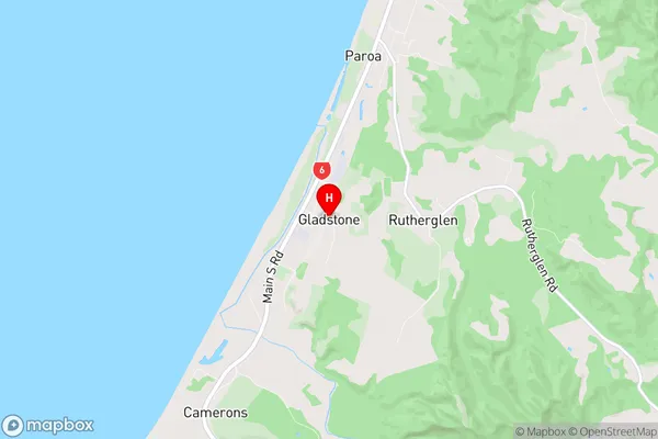
GreyGladstone Region Map
Gladstone Introduction
Gladstone is a small town on the West Coast of New Zealand's South Island. It is located in the Grey District and is known for its natural beauty, including the rugged coastline, forests, and rivers. The town is a popular destination for tourists and has a variety of accommodation options, including hotels, motels, and holiday homes. Gladstone is also home to a number of businesses and industries, including a coal mine, a dairy factory, and a timber processing plant. The town has a strong community spirit and is known for its annual events, such as the Gladstone Agricultural and Pastoral Show and the Gladstone Christmas Parade.Gladstone Region
Gladstone City
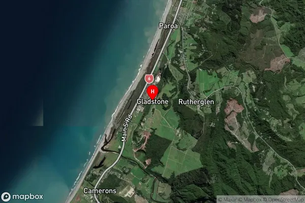
Gladstone Satellite Map
Full Address
Gladstone, Grey, West CoastGladstone Coordinates
-42.532917,171.160028 (Latitude / Longitude)Gladstone Map in NZ
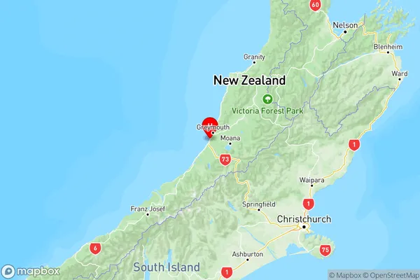
NZ Island
South IslandCountry
Gladstone Area Map (Polygon)
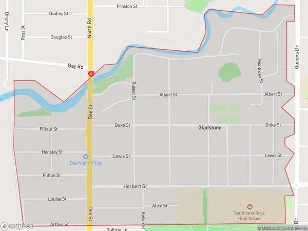
Name
GladstoneAdditional Name
Invercargill WestLocal Authority
Invercargill City
Gladstone Suburbs (Sort by Population)
Gladstone also known as Invercargill West. Gladstone suburb has around
1.6 square
kilometers.There are more than 2616 people (estimated)
live in Gladstone, Invercargill City, Southland, New Zealand.