Gladstone Area, Gladstone Postcode(9810) & Map in Gladstone
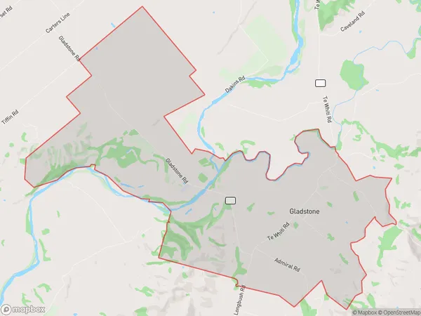
Gladstone Area, Gladstone Postcode(9810) & Map in Gladstone, Carterton District, New Zealand
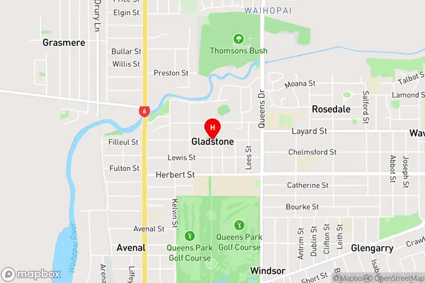
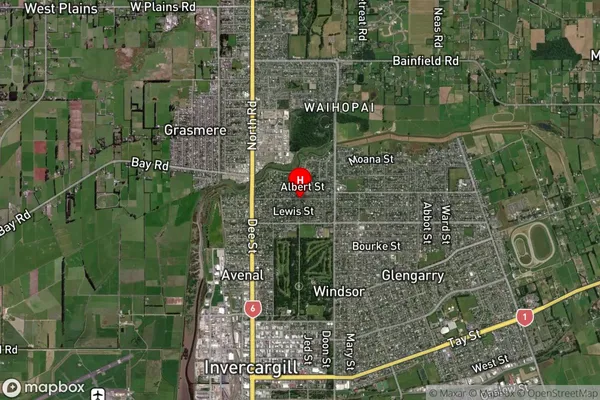
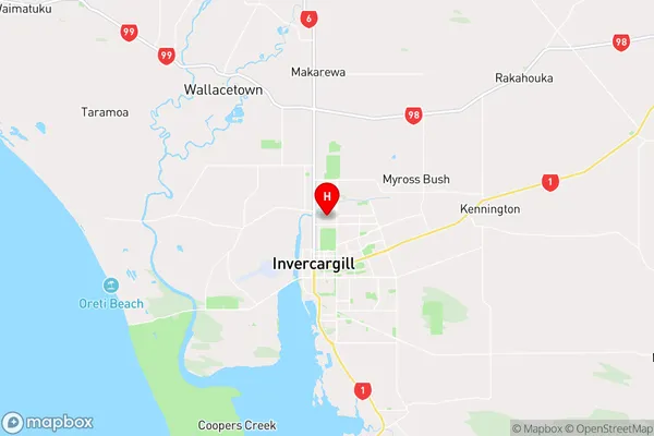
Gladstone, Carterton District, New Zealand
Gladstone Postcodes
Gladstone Area (estimated)
32.2 square kilometersGladstone Population (estimated)
228 people live in Gladstone, Invercargill City, NZGladstone Suburb Area Map (Polygon)
Gladstone Introduction
Gladstone is a small town in Southland, New Zealand, with a population of around 1,000 people. It is located on the banks of the Mataura River and is known for its scenic surroundings and historic buildings. The town was founded in 1865 and was named after the British Prime Minister, William Ewart Gladstone. It is a popular tourist destination and is home to several cafes, restaurants, and hotels.Region
Major City
Suburb Name
GladstoneGladstone Area Map (Street)
Local Authority
Carterton DistrictFull Address
Gladstone, Carterton District, New ZealandAddress Type
Locality in Major Locality GladstoneGladstone Suburb Map (Satellite)
Country
Main Region in AU
SouthlandGladstone Region Map
Coordinates
-46.39204,168.3555099 (latitude/longitude)Distances
The distance from Gladstone, Gladstone, Carterton District to NZ Top 10 Cities