Dunollie Suburbs & Region, Dunollie Map & Postcodes in Dunollie, Grey, West Coast
Dunollie Postcodes, Dunollie ZipCodes, Dunollie , Dunollie West Coast, Dunollie Suburbs, Dunollie Region, Dunollie Map, Dunollie Area
Dunollie Region
Dunollie Suburbs
Dunollie is a suburb place type in Grey, West Coast, NZ. It contains 0 suburbs or localities.Dunollie district
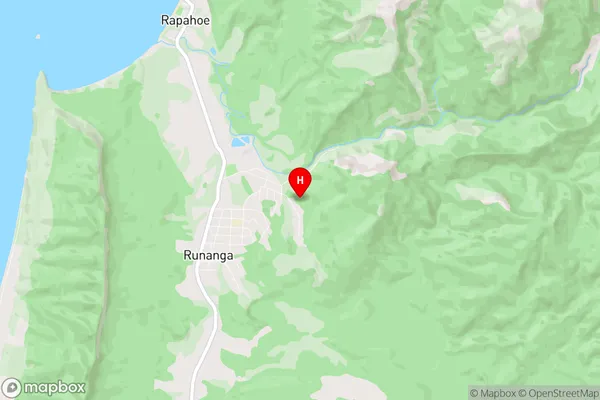
GreyDunollie Region Map
Dunollie Introduction
Dunollie is a small settlement on the West Coast of New Zealand's South Island. It is located in the Grey District, near the mouth of the Grey River, and is surrounded by stunning natural scenery. The settlement has a population of around 100 people and is known for its historic stone buildings and scenic views. The area is popular with tourists and outdoor enthusiasts, who enjoy hiking, fishing, and kayaking in the nearby rivers and forests. Dunollie also has a small museum that showcases the area's history and culture.Dunollie Region
Dunollie City
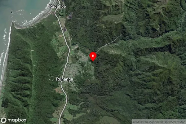
Dunollie Satellite Map
Full Address
Dunollie, Grey, West CoastDunollie Coordinates
-42.396079,171.26338 (Latitude / Longitude)Dunollie Map in NZ
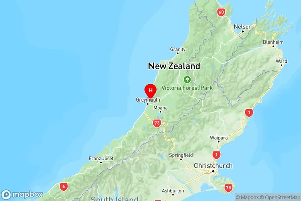
NZ Island
South IslandCountry
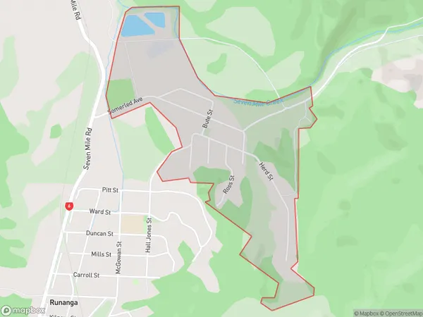
Dunollie Area Map (Polygon)
Name
DunollieAdditional Name
Local Authority
Grey District
Dunollie Suburbs (Sort by Population)
Dunollie suburb has around
1.0 square
kilometers.There are more than 322 people (estimated)
live in Dunollie, Greymouth, West Coast, New Zealand.