Coal Creek Suburbs & Region, Coal Creek Map & Postcodes in Coal Creek, Grey, West Coast
Coal Creek Postcodes, Coal Creek ZipCodes, Coal Creek , Coal Creek West Coast, Coal Creek Suburbs, Coal Creek Region, Coal Creek Map, Coal Creek Area
Coal Creek Region (Rewanui Region)
Coal Creek Suburbs
Coal Creek is a suburb place type in Grey, West Coast, NZ. It contains 0 suburbs or localities.Coal Creek district
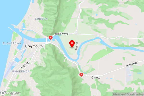
GreyCoal Creek Region Map
Coal Creek Introduction
Coal Creek is a small rural community on the West Coast of New Zealand's South Island. It is located in the Grey District and is situated near the mouth of the Coal Creek River. The community has a population of around 100 people and is known for its scenic surroundings, including the nearby Coal Creek Conservation Park. The area was first settled by European settlers in the 1860s and was named after the coal found in the nearby river. Coal Creek is a popular destination for outdoor enthusiasts, with many opportunities for hiking, fishing, and hunting. The community has a primary school, a post office, and a small supermarket.Coal Creek Region
Coal Creek City
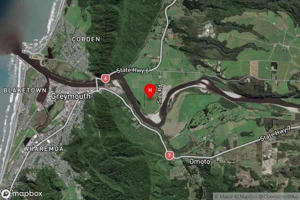
Coal Creek Satellite Map
Full Address
Coal Creek, Grey, West CoastCoal Creek Coordinates
-42.45094,171.235227 (Latitude / Longitude)Coal Creek Map in NZ
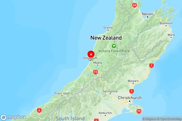
NZ Island
South IslandCountry
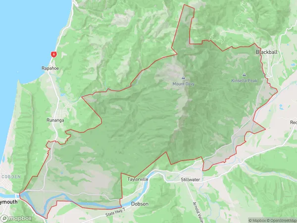
Coal Creek Area Map (Polygon)
Name
Coal CreekAdditional Name
RewanuiLocal Authority
Grey District
Coal Creek Suburbs (Sort by Population)
Coal Creek also known as Rewanui. Coal Creek suburb has around
111.1 square
kilometers.There are more than 130 people (estimated)
live in Coal Creek, Greymouth, West Coast, New Zealand.