Barrytown Suburbs & Region, Barrytown Map & Postcodes in Barrytown, Grey, West Coast
Barrytown Postcodes, Barrytown ZipCodes, Barrytown , Barrytown West Coast, Barrytown Suburbs, Barrytown Region, Barrytown Map, Barrytown Area
Barrytown Region
Barrytown Suburbs
Barrytown is a suburb place type in Grey, West Coast, NZ. It contains 0 suburbs or localities.Barrytown Postcodes
Barrytown district
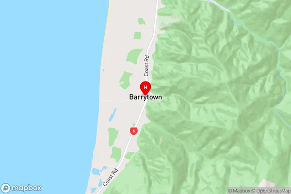
GreyBarrytown Region Map
Barrytown Introduction
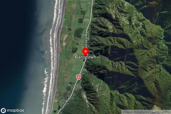
Barrytown is a small rural community on the West Coast of New Zealand's South Island. It is located in the Grey District and is known for its scenic surroundings, including the Barrytown Forest Park and the Barrytown River. The community has a population of around 500 people and is home to a variety of businesses, including a hotel, a dairy factory, and a supermarket. Barrytown is also a popular destination for outdoor enthusiasts, with many walking and hiking trails in the surrounding area.Barrytown Region
Barrytown Satellite Map
Full Address
Barrytown, Grey, West CoastBarrytown Coordinates
-42.244473,171.325425 (Latitude / Longitude)Barrytown Map in NZ
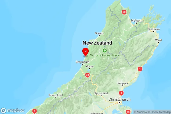
NZ Island
South IslandCountry