Barrytown Area, Barrytown Postcode(7873) & Map in Barrytown
Barrytown Area, Barrytown Postcode(7873) & Map in Barrytown, Grey District, New Zealand
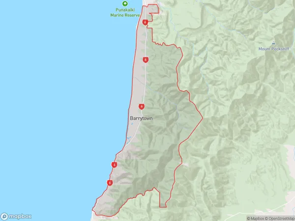
Barrytown, Grey District, New Zealand
Barrytown Postcodes
Barrytown Area (estimated)
142.3 square kilometersBarrytown Population (estimated)
242 people live in Barrytown, West Coast, NZBarrytown Suburb Area Map (Polygon)
Barrytown Introduction
Barrytown is a small rural community on the West Coast of New Zealand's South Island. It is located in the Grey District and is known for its scenic surroundings, including the Barrytown Forest Park and the Barrytown River. The community has a population of around 100 people and is home to a primary school, a post office, and a small supermarket. Barrytown is a popular destination for outdoor enthusiasts, with many hiking and cycling trails in the area.Region
Major City
Suburb Name
BarrytownOther Name(s)
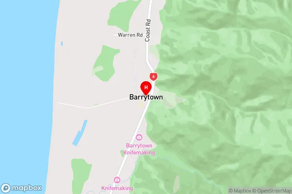
GreigsBarrytown Area Map (Street)
Local Authority
Grey DistrictFull Address
Barrytown, Grey District, New ZealandAddress Type
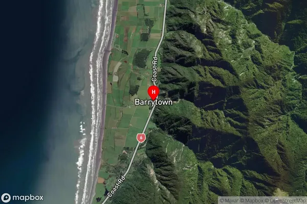
Locality in Town GreymouthBarrytown Suburb Map (Satellite)
Country
Main Region in AU
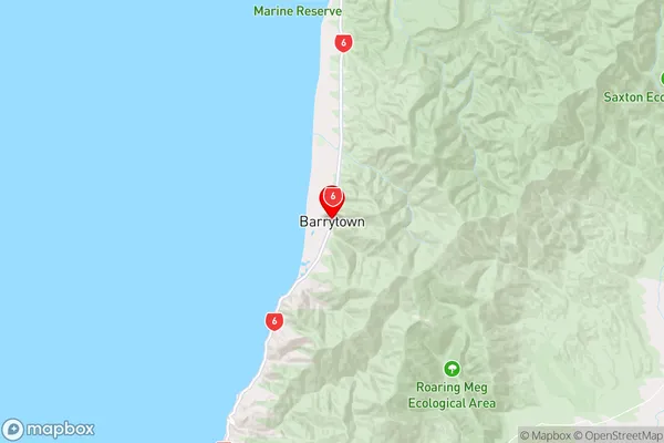
West CoastBarrytown Region Map
Coordinates
-42.244473,171.3254252 (latitude/longitude)Distances
The distance from Barrytown, Greymouth, Grey District to NZ Top 10 Cities