Whangarei Central Suburbs & Region, Whangarei Central Map & Postcodes in Whangarei Central, Whangarei, Northland
Whangarei Central Postcodes, Whangarei Central ZipCodes, Whangarei Central , Whangarei Central Northland, Whangarei Central Suburbs, Whangarei Central Region, Whangarei Central Map, Whangarei Central Area
Whangarei Central Region (Whangarei Central Region)
Whangarei Central Suburbs
Whangarei Central is a suburb place type in Whangarei, Northland, NZ. It contains 0 suburbs or localities.Whangarei Central Postcodes
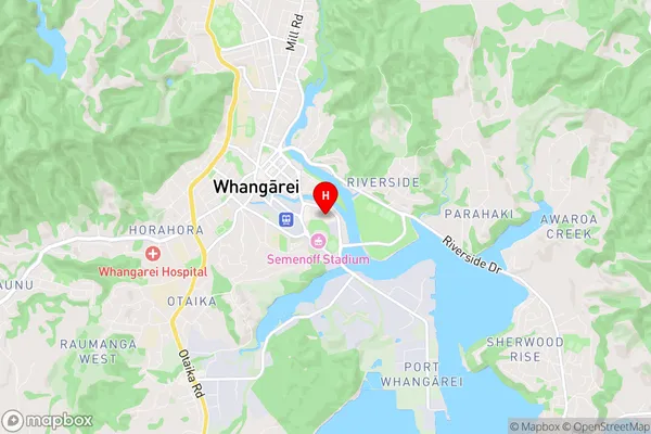
Whangarei Central Region Map
Whangarei Central Introduction
Whangarei Central is a suburb of Whangarei, Northland, New Zealand. It is located in the northern part of the city, near the harbor and the airport. The suburb has a mix of residential and commercial properties, with many shops, cafes, and restaurants. It is also home to several schools, including Whangarei Boys' High School and Whangarei Girls' High School. Whangarei Central is a popular place to live due to its convenient location, friendly community, and scenic surroundings.Whangarei Central Region
Whangarei Central City
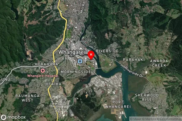
Whangarei Central Satellite Map
Full Address
Whangarei Central, Whangarei, NorthlandWhangarei Central Coordinates
-35.731413,174.330379 (Latitude / Longitude)Whangarei Central Map in NZ
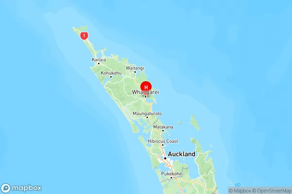
NZ Island
North IslandCountry
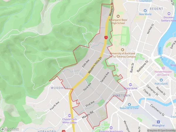
Whangarei Central Area Map (Polygon)
Name
AvenuesAdditional Name
Whangarei CentralLocal Authority
Whangarei District
Whangarei Central Suburbs (Sort by Population)
Avenues also known as Whangarei Central. Avenues suburb has around
1.1 square
kilometers.There are more than 2120 people (estimated)
live in Avenues, Whangarei, Northland, New Zealand.