Tata Beach Suburbs & Region, Tata Beach Map & Postcodes in Tata Beach, Tasman, Nelson & Bays
Tata Beach Postcodes, Tata Beach ZipCodes, Tata Beach , Tata Beach Nelson, Tata Beach Suburbs, Tata Beach Region, Tata Beach Map, Tata Beach Area
Tata Beach Region (Anatimo, Tarakohe Region)
Tata Beach Suburbs
Tata Beach is a suburb place type in Tasman, Nelson & Bays, NZ. It contains 0 suburbs or localities.Tata Beach district
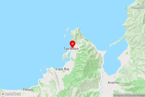
TasmanTata Beach Region Map
Tata Beach Introduction
Tata Beach is a popular beach in Nelson, New Zealand, known for its golden sand, clear waters, and stunning coastal views. It is a popular spot for swimming, sunbathing, and water sports such as kayaking and paddleboarding. The beach is also home to a small community of sea lions who often gather on the rocks to sun themselves. Tata Beach is located at the end of a scenic drive through the Nelson Lakes National Park and is easily accessible from the city of Nelson.Tata Beach Region
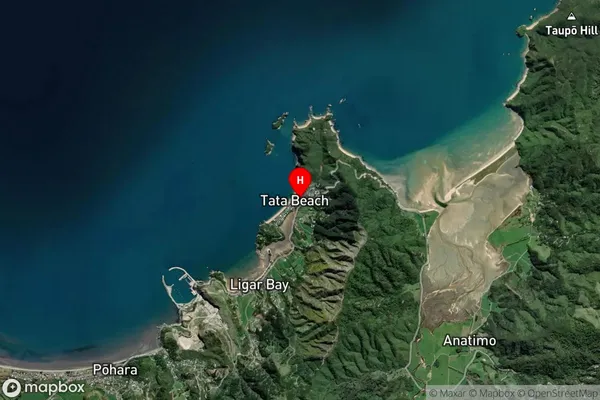
Tata Beach Satellite Map
Full Address
Tata Beach, Tasman, Nelson & BaysTata Beach Coordinates
-40.8113349,172.9164873 (Latitude / Longitude)Tata Beach Map in NZ
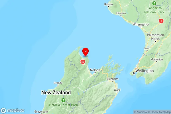
NZ Island
South IslandCountry
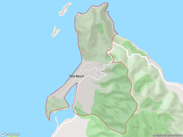
Tata Beach Area Map (Polygon)
Name
Tata BeachAdditional Name
Anatimo, TarakoheLocal Authority
Tasman District
Tata Beach Suburbs (Sort by Population)
Tata Beach also known as Anatimo, Tarakohe. Tata Beach suburb has around
2.0 square
kilometers.There are more than 85 people (estimated)
live in Tata Beach, , Tasman, New Zealand.