Tata Beach Area, Tata Beach Postcode(7183) & Map in Tata Beach
Tata Beach Area, Tata Beach Postcode(7183) & Map in Tata Beach, Tasman District, New Zealand
Tata Beach, Tasman District, New Zealand
Tata Beach Postcodes
Tata Beach Area (estimated)
2.0 square kilometersTata Beach Population (estimated)
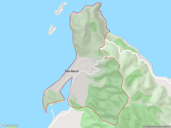
85 people live in Tata Beach, Tasman, NZTata Beach Suburb Area Map (Polygon)

Tata Beach Introduction
Takaka Hill is a popular hiking and mountain biking destination located in Takaka, Tasman, New Zealand. It offers stunning views of the surrounding area, including the Golden Bay and the Takaka Valley. The hill is also home to a variety of wildlife, including kea, tui, and kiwi birds. Visitors can enjoy a range of activities, such as hiking, mountain biking, and picnicking. The hill is easily accessible from Takaka town and is a must-visit destination for nature lovers and outdoor enthusiasts.Region
Major City
Suburb Name
Tata BeachOther Name(s)
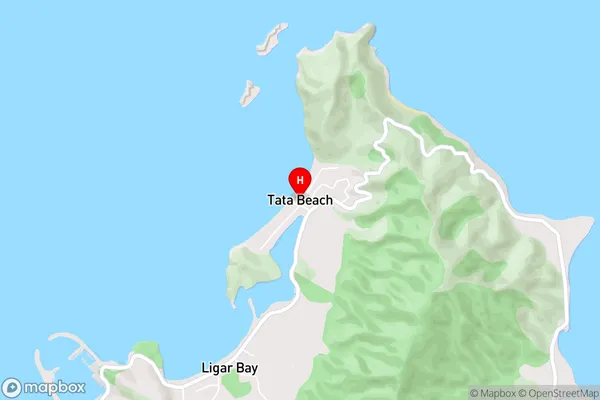
Anatimo, TarakoheTata Beach Area Map (Street)

Local Authority
Tasman DistrictFull Address
Tata Beach, Tasman District, New ZealandAddress Type
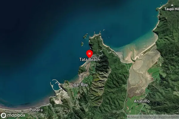
Locality in Town TakakaTata Beach Suburb Map (Satellite)

Country
Main Region in AU
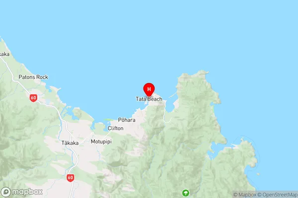
TasmanTata Beach Region Map

Coordinates
-40.8114038,172.9155314 (latitude/longitude)Distances
The distance from Tata Beach, Takaka, Tasman District to NZ Top 10 Cities