St Arnaud Suburbs & Region, St Arnaud Map & Postcodes in St Arnaud, Tasman, Nelson & Bays
St Arnaud Postcodes, St Arnaud ZipCodes, St Arnaud , St Arnaud Tasman, St Arnaud Suburbs, St Arnaud Region, St Arnaud Map, St Arnaud Area
St Arnaud Region (St Arnaud, Tophouse, Tophouse Settlement Region)
St Arnaud Suburbs
St Arnaud is a suburb place type in Tasman, Nelson & Bays, NZ. It contains 0 suburbs or localities.St Arnaud district
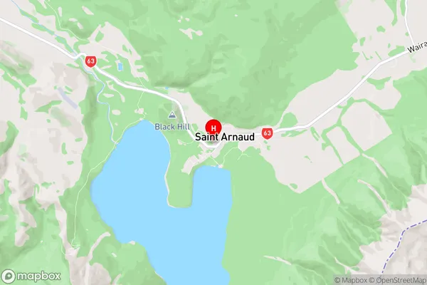
TasmanSt Arnaud Region Map
St Arnaud Introduction
St Arnaud is a small township in the Tasman District of New Zealand's South Island. It is situated on the banks of the St Arnaud River, approximately 120 kilometers northwest of Nelson. The town is known for its scenic surroundings, including the St Arnaud Range and the surrounding lakes and forests. The population of St Arnaud is around 2,000 people, and the town has a variety of amenities, including a supermarket, a hotel, and a golf course. The town is also home to a number of cultural and recreational facilities, including a museum and a library.St Arnaud Region
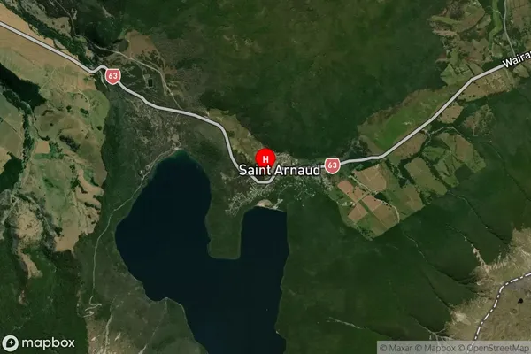
St Arnaud Satellite Map
Full Address
St Arnaud, Tasman, Nelson & BaysSt Arnaud Coordinates
-41.802372,172.845041 (Latitude / Longitude)St Arnaud Map in NZ
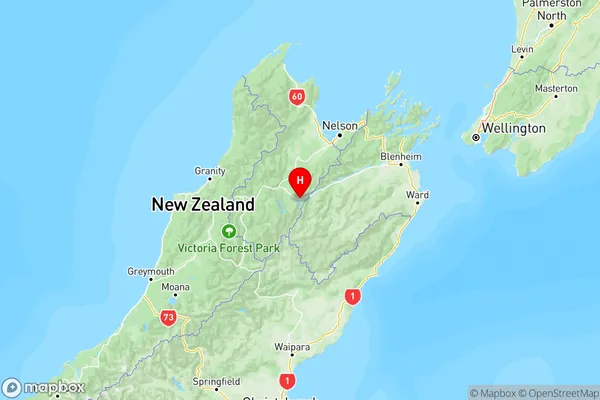
NZ Island
South IslandCountry
St Arnaud Area Map (Polygon)
Not available for nowName
St. ArnaudAdditional Name
St Arnaud, Tophouse, Tophouse SettlementLocal Authority
Marlborough District, Tasman District
St Arnaud Suburbs (Sort by Population)
St. Arnaud also known as St Arnaud, Tophouse, Tophouse Settlement. St. Arnaud suburb has around
-1.2 square
kilometers.There are more than 261 people (estimated)
live in St. Arnaud, Saint Arnaud, Tasman, New Zealand.