The Wood Suburbs & Region, The Wood Map & Postcodes in The Wood, Nelson, Nelson & Bays
The Wood Postcodes, The Wood ZipCodes, The Wood , The Wood Nelson, The Wood Suburbs, The Wood Region, The Wood Map, The Wood Area
The Wood Region (Nelson Central Region)
The Wood Suburbs
The Wood is a suburb place type in Nelson, Nelson & Bays, NZ. It contains 0 suburbs or localities.The Wood Postcodes
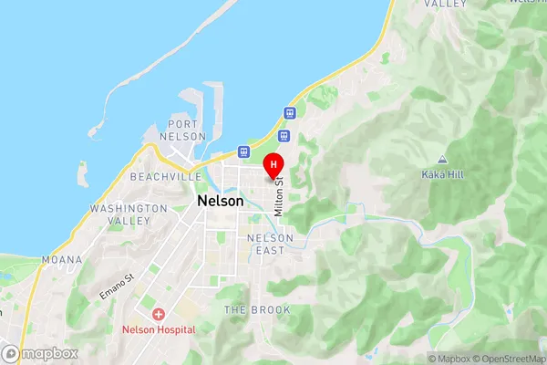
The Wood Region Map
The Wood Introduction
The Wood is a small rural community located in the Nelson region of New Zealand, known for its scenic surroundings and peaceful atmosphere. It is situated between the Takaka Hill and the Riwaka Range, and is surrounded by lush forests, farmland, and picturesque rivers. The community has a population of around 500 people and is home to a variety of businesses, including a general store, a post office, and a café. The Wood is a popular destination for outdoor enthusiasts, with many walking and hiking trails, and a nearby golf course. The community also hosts a number of events throughout the year, including a Christmas festival and a farmers' market.The Wood Region
The Wood City
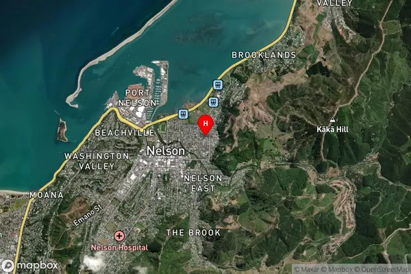
The Wood Satellite Map
Full Address
The Wood, Nelson, Nelson & BaysThe Wood Coordinates
-41.268501,173.293705 (Latitude / Longitude)The Wood Map in NZ
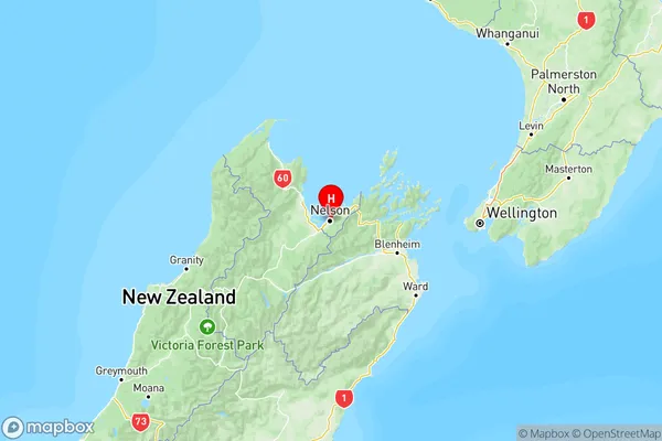
NZ Island
South IslandCountry
The Wood Area Map (Polygon)
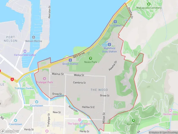
Name
The WoodAdditional Name
Nelson CentralLocal Authority
Nelson City
The Wood Suburbs (Sort by Population)
The Wood also known as Nelson Central. The Wood suburb has around
1.9 square
kilometers.There are more than 3176 people (estimated)
live in The Wood, Nelson, Nelson, New Zealand.