The Wood Area, The Wood Postcode(7042) & Map in The Wood
The Wood Area, The Wood Postcode(7042) & Map in The Wood, Nelson City, New Zealand
The Wood, Nelson City, New Zealand
The Wood Area (estimated)
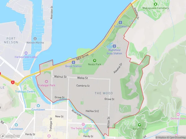
1.9 square kilometersThe Wood Population (estimated)
3176 people live in The Wood, Nelson, NZThe Wood Suburb Area Map (Polygon)
The Wood Introduction
The Wood is a residential area in Nelson, New Zealand, known for its peaceful atmosphere, scenic views, and well-maintained homes. It is located in the western part of the city, surrounded by lush green hills and picturesque gardens. The area has a variety of amenities, including a supermarket, a medical center, and several schools. The Wood is a popular choice for families and retirees looking for a quiet and comfortable lifestyle in a beautiful natural setting.Region
Major City
Suburb Name
The WoodOther Name(s)
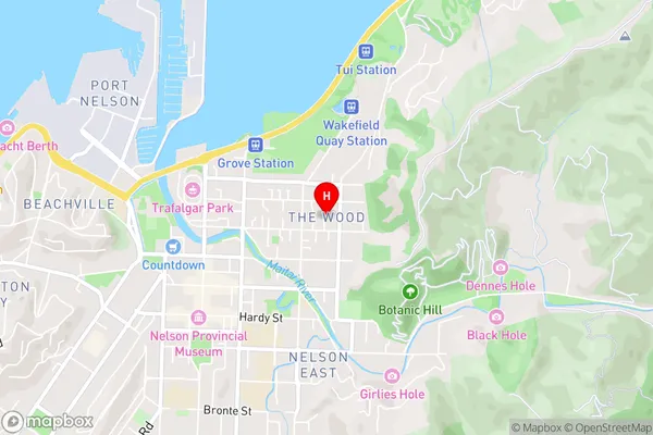
Nelson CentralThe Wood Area Map (Street)
Local Authority
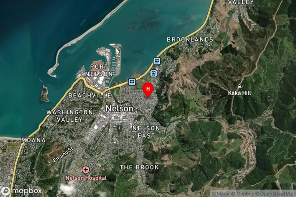
Nelson CityFull Address
The Wood, Nelson City, New ZealandAddress Type
Suburb in City NelsonThe Wood Suburb Map (Satellite)
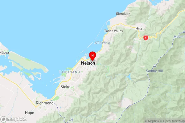
Country
Main Region in AU
NelsonThe Wood Region Map
Coordinates
-41.2685009,173.293705 (latitude/longitude)Distances
The distance from The Wood, Nelson, Nelson City to NZ Top 10 Cities