Stoke Suburbs & Region, Stoke Map & Postcodes in Stoke, Nelson, Nelson & Bays
Stoke Postcodes, Stoke ZipCodes, Stoke , Stoke Nelson, Stoke Suburbs, Stoke Region, Stoke Map, Stoke Area
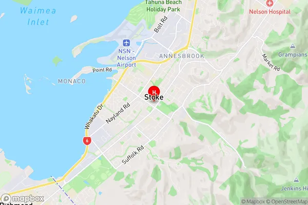
Stoke Region (Maitlands, Nayland Region)
Stoke Suburbs
Stoke is a suburb place type in Nelson, Nelson & Bays, NZ. It contains 0 suburbs or localities.Stoke Region Map
Stoke Introduction
Stoke is a small town located in the Nelson region of New Zealand. It is situated on the banks of the Maitai River, approximately 20 kilometers south of Nelson City. The town has a population of around 1,500 people and is known for its scenic surroundings, including the nearby Nelson Lakes National Park. Stoke is a popular destination for outdoor activities such as hiking, fishing, and skiing, and it is also home to a number of historic buildings and landmarks. The town has a primary school, a post office, a supermarket, and a variety of small businesses and cafes.Stoke Region
Stoke City
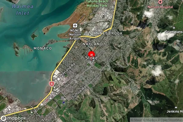
Stoke Satellite Map
Full Address
Stoke, Nelson, Nelson & BaysStoke Coordinates
-41.312156,173.233387 (Latitude / Longitude)Stoke Map in NZ
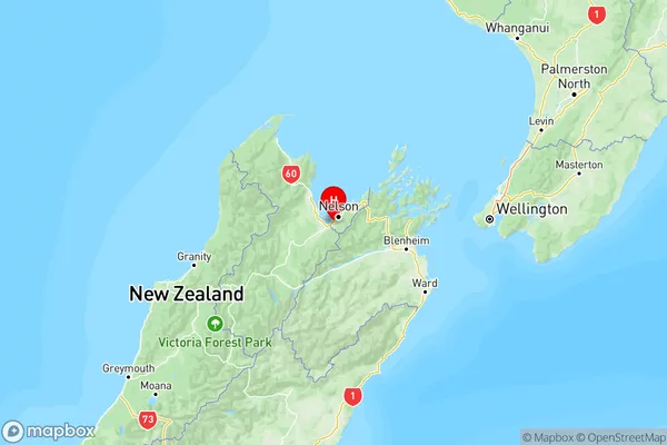
NZ Island
South IslandCountry
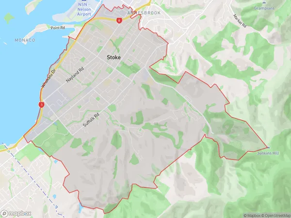
Stoke Area Map (Polygon)
Name
StokeAdditional Name
Maitlands, NaylandLocal Authority
Nelson City
Stoke Suburbs (Sort by Population)
Stoke also known as Maitlands, Nayland. Stoke suburb has around
20.1 square
kilometers.There are more than 15767 people (estimated)
live in Stoke, Nelson, Nelson, New Zealand.