Stoke Area, Stoke Postcode(7011) & Map in Stoke
Stoke Area, Stoke Postcode(7011) & Map in Stoke, Nelson City, New Zealand
Stoke, Nelson City, New Zealand
Stoke Area (estimated)
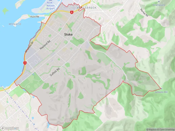
20.1 square kilometersStoke Population (estimated)
15767 people live in Stoke, Nelson, NZStoke Suburb Area Map (Polygon)
Stoke Introduction
Stoke, Nelson, Nelson, New Zealand, is a small rural town located in the Nelson Region of the South Island. It is known for its picturesque scenery, including the Stoke Valley, the Rutherford Range, and the Tawharanui Forest Park. The town has a population of around 1,200 people and is surrounded by farmland and vineyards. It is a popular destination for outdoor activities such as hiking, cycling, and fishing, and is also home to several wineries and restaurants.Region
Major City
Suburb Name
StokeOther Name(s)
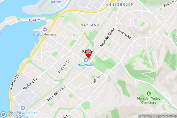
Maitlands, NaylandStoke Area Map (Street)
Local Authority
Nelson CityFull Address
Stoke, Nelson City, New ZealandAddress Type
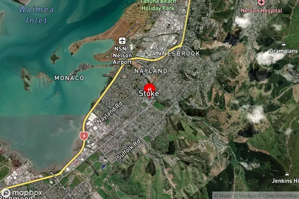
Suburb in City NelsonStoke Suburb Map (Satellite)
Country
Main Region in AU
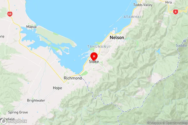
NelsonStoke Region Map
Coordinates
-41.3123756,173.2335584 (latitude/longitude)Distances
The distance from Stoke, Nelson, Nelson City to NZ Top 10 Cities