Ruatangata Suburbs & Region, Ruatangata Map & Postcodes in Ruatangata, Whangarei, Northland
Ruatangata Postcodes, Ruatangata ZipCodes, Ruatangata , Ruatangata Northland, Ruatangata Suburbs, Ruatangata Region, Ruatangata Map, Ruatangata Area
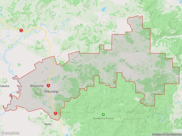
Ruatangata Region (Marua, Ruatangata, Waro, Wilsonville Region)
Ruatangata Suburbs
Ruatangata is a suburb place type in Whangarei, Northland, NZ. It contains 0 suburbs or localities.Ruatangata Region Map
Ruatangata Introduction
Ruatangata Island is located in the Bay of Islands, Northland, New Zealand. It is a small, rocky island with a population of around 100 people. The island is known for its stunning natural beauty, including lush forests, crystal-clear waters, and stunning beaches. The island has a rich cultural heritage, with its own language, customs, and traditions. Ruatangata Island is also home to a variety of wildlife, including birds, reptiles, and marine mammals. The island is accessible by ferry from Paihia or Russell. Visitors to the island can explore the historic ruins of a former whaling station, hike through the forest, swim in the ocean, or relax on the beach.Ruatangata Region
Ruatangata City
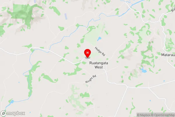
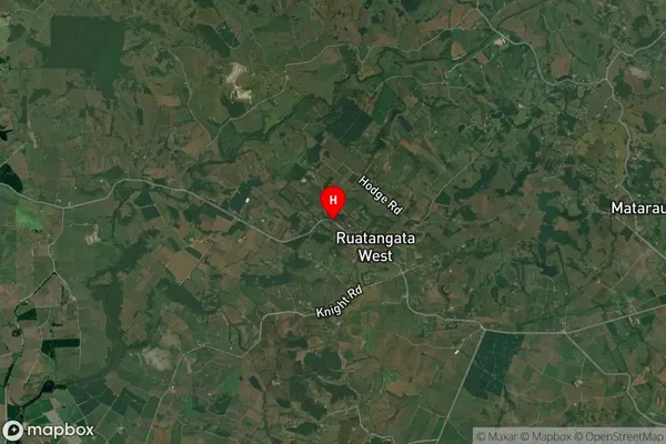
Ruatangata Satellite Map
Full Address
Ruatangata, Whangarei, NorthlandRuatangata Coordinates
-35.6564751,174.1745661 (Latitude / Longitude)Ruatangata Map in NZ
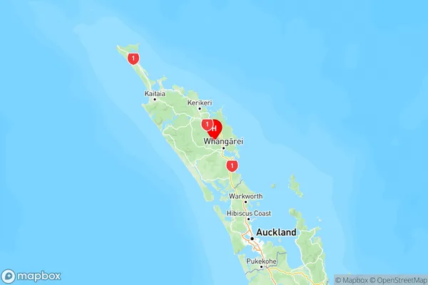
NZ Island
North IslandCountry
Ruatangata Area Map (Polygon)
Name
HikurangiAdditional Name
Marua, Ruatangata, Waro, WilsonvilleLocal Authority
Whangarei District
Ruatangata Suburbs (Sort by Population)
Hikurangi also known as Marua, Ruatangata, Waro, Wilsonville. Hikurangi suburb has around
94.2 square
kilometers.There are more than 2378 people (estimated)
live in Hikurangi, Whangarei, Northland, New Zealand.