Ward Suburbs & Region, Ward Map & Postcodes in Ward, Marlborough, Marlborough
Ward Postcodes, Ward ZipCodes, Ward , Ward Marlborough, Ward Suburbs, Ward Region, Ward Map, Ward Area
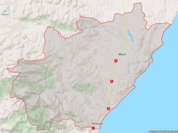
Ward Region (Wharanui Region)
Ward Suburbs
Ward is a suburb place type in Marlborough, Marlborough, NZ. It contains 1 suburbs or localities.Ward Postcodes
Ward district
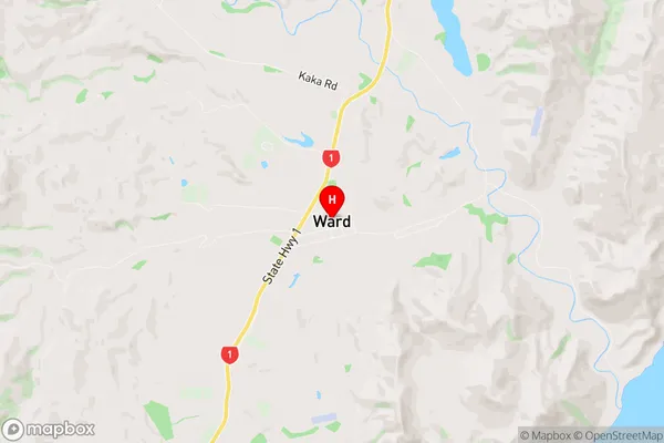
MarlboroughWard Region Map
Ward Introduction
Ward is a small rural community located in the Marlborough region of New Zealand's South Island. It is situated approximately 50 kilometers southeast of Blenheim, the region's capital city. The area is known for its scenic countryside, vineyards, and olive groves, and is a popular destination for tourists and wine enthusiasts. Ward has a population of around 300 people and is home to a variety of businesses, including a supermarket, a post office, and a petrol station. The community also has a primary school and a community hall, which are used for a range of social and cultural events.Ward Region
Ward City
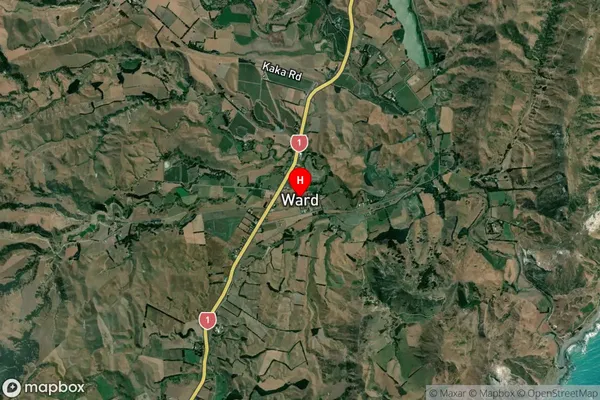
Ward Satellite Map
Full Address
Ward, Marlborough, MarlboroughWard Coordinates
-41.826421,174.137994 (Latitude / Longitude)Ward Map in NZ
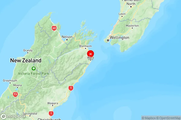
NZ Island
South IslandCountry
Ward Area Map (Polygon)
Name
WardAdditional Name
WharanuiLocal Authority
Marlborough District
Ward Suburbs (Sort by Population)
Ward
Ward - 285