Ward Area, Ward Postcode(7248) & Map in Ward
Ward Area, Ward Postcode(7248) & Map in Ward, Marlborough District, New Zealand
Ward, Marlborough District, New Zealand
Ward Postcodes
Ward Area (estimated)
336.0 square kilometersWard Population (estimated)
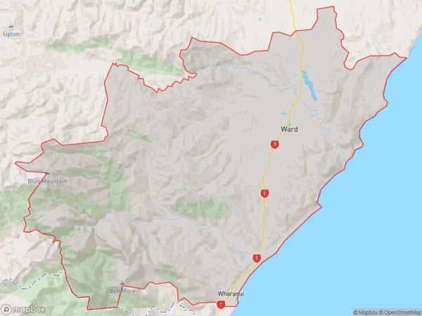
285 people live in Ward, Marlborough, NZWard Suburb Area Map (Polygon)
Ward Introduction
Ward, Ward, Marlborough, New Zealand, was a small rural community that existed between 1865 and 1970. It was known for its fertile soil and picturesque surroundings, and was a popular destination for tourists in the early 20th century. The village was also home to a number of notable individuals, including poet and writer Janet Frame. Unfortunately, the community was gradually abandoned as the land was sold for other purposes, and today only a few remnants of the village remain.Region
Major City
Suburb Name
WardOther Name(s)
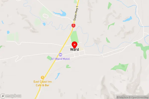
WharanuiWard Area Map (Street)
Local Authority
Marlborough DistrictFull Address
Ward, Marlborough District, New ZealandAddress Type
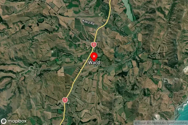
Locality in Major Locality WardWard Suburb Map (Satellite)
Country
Main Region in AU
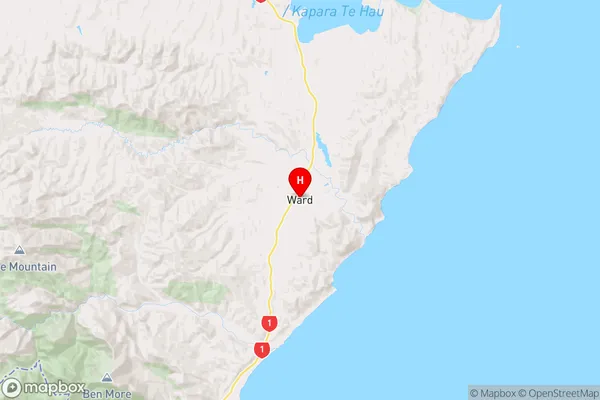
MarlboroughWard Region Map
Coordinates
-41.8264213,174.1379945 (latitude/longitude)Distances
The distance from Ward, Ward, Marlborough District to NZ Top 10 Cities