Whitby Suburbs & Region, Whitby Map & Postcodes in Whitby, Porirua City, Wellington
Whitby Postcodes, Whitby ZipCodes, Whitby , Whitby Wellington, Whitby Suburbs, Whitby Region, Whitby Map, Whitby Area
Whitby Region
Whitby Suburbs
Whitby is a suburb place type in Porirua City, Wellington, NZ. It contains 0 suburbs or localities.Whitby Region Map
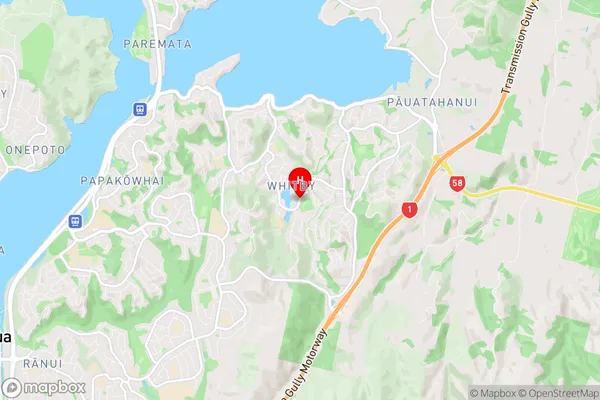
Whitby Introduction
Whitby is a small coastal town located in the Wellington region of New Zealand. It is known for its historic whaling port, which played a significant role in the country's economic development in the 19th century. The town is surrounded by beautiful beaches, including Whitby Beach, which is a popular spot for swimming, surfing, and fishing. Whitby also has a rich cultural heritage, with several historic buildings and museums, including the Whitby Museum and the Captain Cook Memorial Museum. The town is located about 30 minutes drive from Wellington's city center and is a popular destination for tourists and locals alike.Whitby Region
Whitby City
Whitby Satellite Map
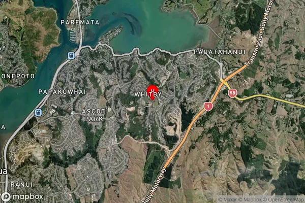
Full Address
Whitby, Porirua City, WellingtonWhitby Coordinates
-41.117766,174.894085 (Latitude / Longitude)Whitby Map in NZ
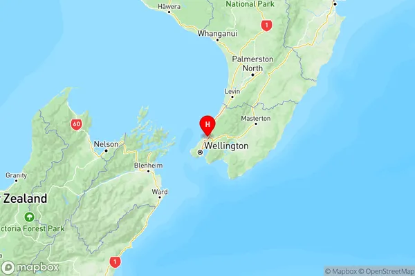
NZ Island
North IslandCountry
Whitby Area Map (Polygon)
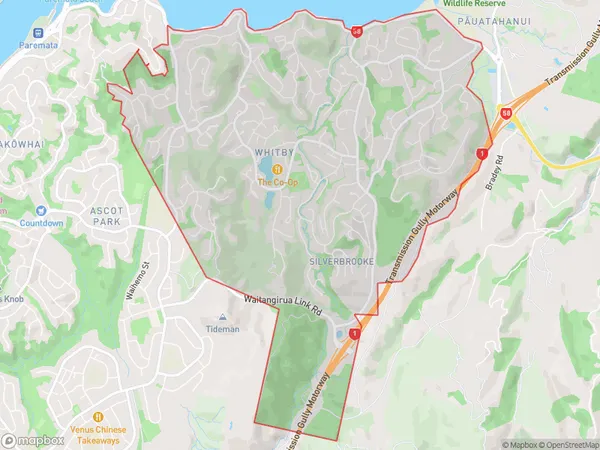
Name
WhitbyAdditional Name
Local Authority
Porirua City
Whitby Suburbs (Sort by Population)
Whitby suburb has around
9.5 square
kilometers.There are more than 11820 people (estimated)
live in Whitby, Porirua, Wellington, New Zealand.