Whitby Area, Whitby Postcode(5024) & Map in Whitby
Whitby Area, Whitby Postcode(5024) & Map in Whitby, Porirua City, New Zealand
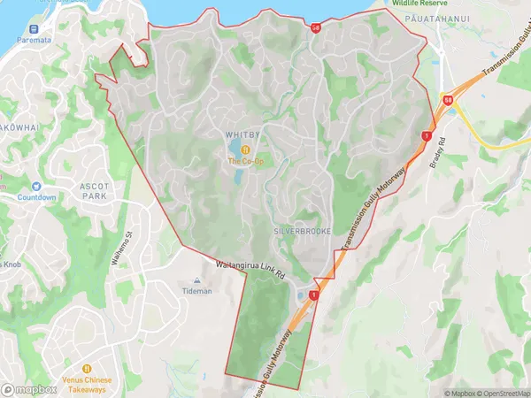
Whitby, Porirua City, New Zealand
Whitby Area (estimated)
9.5 square kilometersWhitby Population (estimated)
11820 people live in Whitby, Porirua, NZWhitby Suburb Area Map (Polygon)
Whitby Introduction
Whitby is a suburb in Porirua, Wellington, New Zealand. It is located on the northern shore of Porirua Harbour and is known for its picturesque beaches, historic buildings, and vibrant community. The suburb has a population of around 4,000 people and is popular with families and retirees. It is also home to a large fishing community and is a popular destination for fishing and boating enthusiasts.Region
Major City
Suburb Name
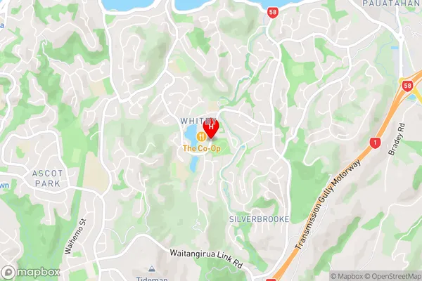
WhitbyWhitby Area Map (Street)
Local Authority
Porirua CityFull Address
Whitby, Porirua City, New ZealandAddress Type
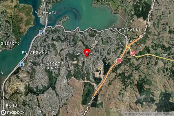
Suburb in City PoriruaWhitby Suburb Map (Satellite)
Country
Main Region in AU
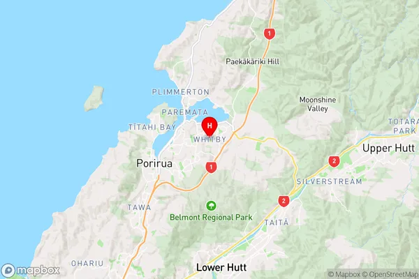
WellingtonWhitby Region Map
Coordinates
-41.1177663,174.894085 (latitude/longitude)Distances
The distance from Whitby, Porirua, Porirua City to NZ Top 10 Cities