Ranui Heights Suburbs & Region, Ranui Heights Map & Postcodes in Ranui Heights, Porirua City, Wellington
Ranui Heights Postcodes, Ranui Heights ZipCodes, Ranui Heights , Ranui Heights Wellington, Ranui Heights Suburbs, Ranui Heights Region, Ranui Heights Map, Ranui Heights Area
Ranui Heights Region (Porirua East, Ranui Heights Region)
Ranui Heights Suburbs
Ranui Heights is a suburb place type in Porirua City, Wellington, NZ. It contains 0 suburbs or localities.Ranui Heights Postcodes
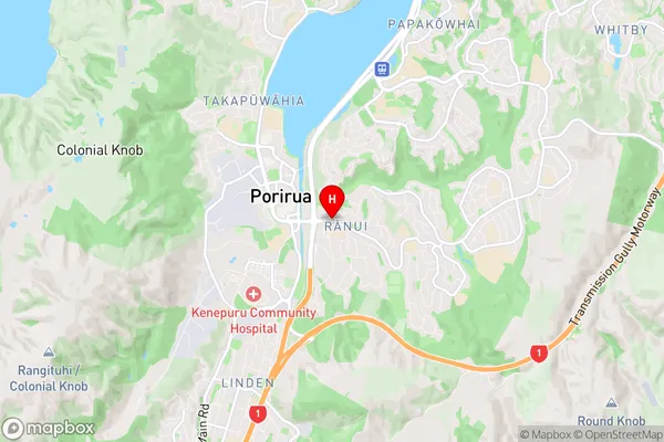
Ranui Heights Region Map
Ranui Heights Introduction
Ranui Heights is a suburb of Wellington, New Zealand, located in the western part of the city. It is known for its large population of Pacific Islanders and has a rich cultural heritage. The suburb has a variety of shops, restaurants, and recreational facilities, including a golf course and a community center. Ranui Heights is also home to several important landmarks, including the Ranui Mosque and the Ranui Library. The area is well-connected to other parts of the city by public transport, and it is within walking distance of the Wellington CBD.Ranui Heights Region
Ranui Heights City
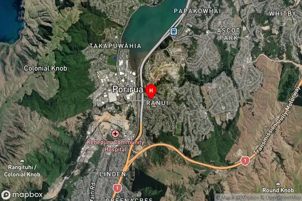
Ranui Heights Satellite Map
Full Address
Ranui Heights, Porirua City, WellingtonRanui Heights Coordinates
-41.138314,174.847736 (Latitude / Longitude)Ranui Heights Map in NZ
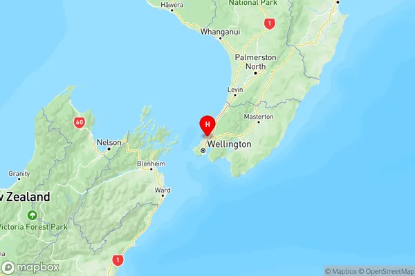
NZ Island
North IslandCountry
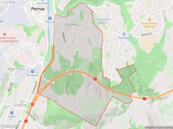
Ranui Heights Area Map (Polygon)
Name
RanuiAdditional Name
Porirua East, Ranui HeightsLocal Authority
Porirua City
Ranui Heights Suburbs (Sort by Population)
Ranui also known as Porirua East, Ranui Heights. Ranui suburb has around
4.7 square
kilometers.There are more than 3876 people (estimated)
live in Ranui, Porirua, Wellington, New Zealand.