Ranui Area, Ranui Postcode(0612) & Map in Ranui
Ranui Area, Ranui Postcode(0612) & Map in Ranui, Porirua City, New Zealand
Ranui, Porirua City, New Zealand
Ranui Postcodes
Ranui Area (estimated)
4.7 square kilometersRanui Population (estimated)
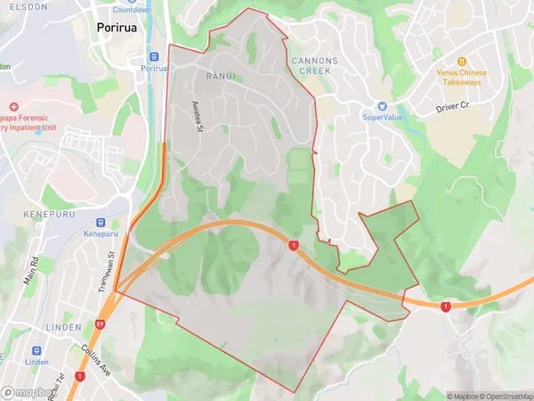
3876 people live in Ranui, Porirua, NZRanui Suburb Area Map (Polygon)
Ranui Introduction
Ranui is a suburb of Porirua in Wellington, New Zealand. It is located on the southern shore of Porirua Harbour and is known for its peaceful atmosphere, scenic views, and close proximity to the city. Ranui has a population of around 5,000 people and is a popular destination for families and retirees. The area has a variety of housing options, including apartments, townhouses, and single-family homes. There are several parks and recreational facilities in Ranui, including the Ranui Reserve, which has a playground, walking tracks, and a community center. The suburb is also home to several schools, including Ranui Primary School and Ranui College.Region
Major City
Suburb Name
Ranui (Maori Name: Rānui)Other Name(s)
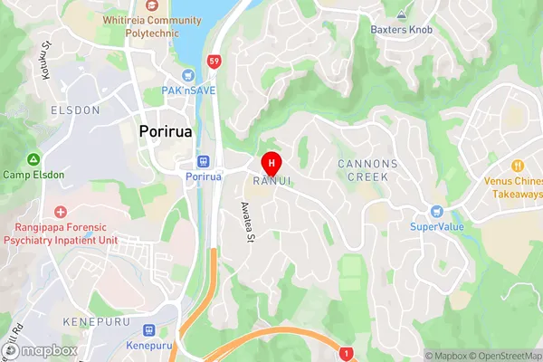
Porirua East, Ranui HeightsRanui Area Map (Street)
Local Authority
Porirua CityFull Address
Ranui, Porirua City, New ZealandAddress Type
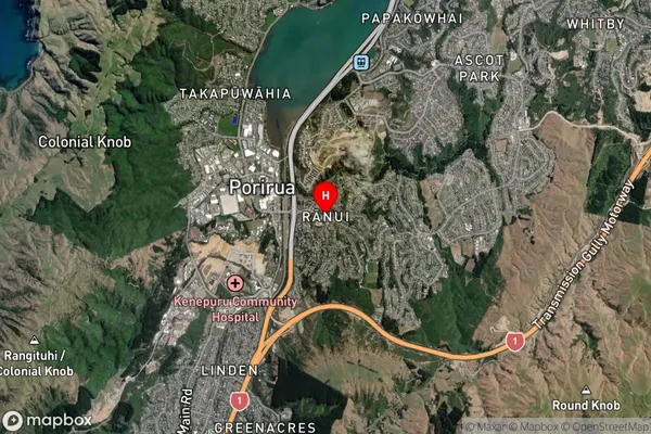
Suburb in City PoriruaRanui Suburb Map (Satellite)
Country
Main Region in AU
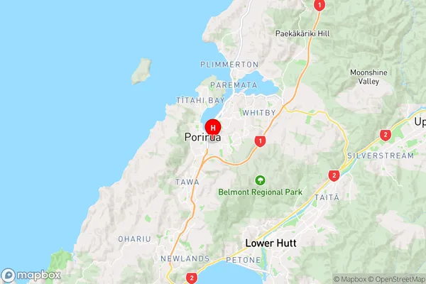
WellingtonRanui Region Map
Coordinates
-41.1389654,174.8498468 (latitude/longitude)Distances
The distance from Ranui, Porirua, Porirua City to NZ Top 10 Cities