Porirua East Suburbs & Region, Porirua East Map & Postcodes in Porirua East, Porirua City, Wellington
Porirua East Postcodes, Porirua East ZipCodes, Porirua East , Porirua East Wellington, Porirua East Suburbs, Porirua East Region, Porirua East Map, Porirua East Area
Porirua East Region (Porirua East Region)
Porirua East Suburbs
Porirua East is a suburb place type in Porirua City, Wellington, NZ. It contains 0 suburbs or localities.Porirua East Postcodes
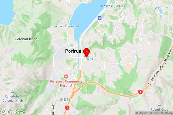
Porirua East Region Map
Porirua East Introduction
Porirua East is a suburb of Wellington, New Zealand, located on the city's northern shore. It is known for its vibrant community, picturesque parks, and easy access to the city center. The suburb has a mix of residential areas and commercial spaces, including the popular Porirua Plaza shopping center. Porirua East is also home to several important institutions, including the Porirua City Library and the Porirua Hospital. The area is well-connected to the rest of Wellington via public transportation, with several bus routes and the Porirua Train Station located nearby.Porirua East Region
Porirua East City
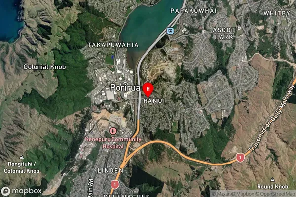
Porirua East Satellite Map
Full Address
Porirua East, Porirua City, WellingtonPorirua East Coordinates
-41.138314,174.847736 (Latitude / Longitude)Porirua East Map in NZ
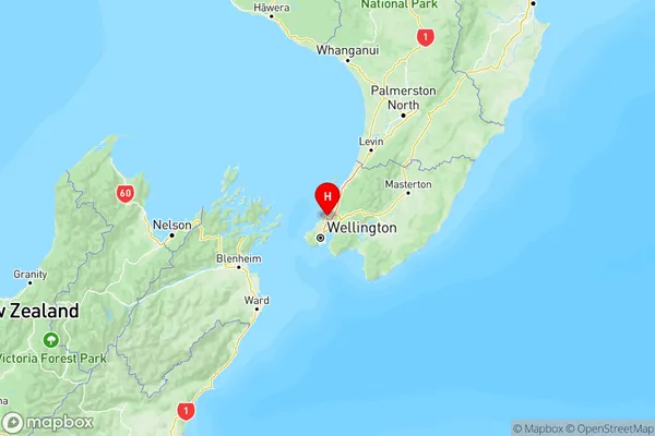
NZ Island
North IslandCountry
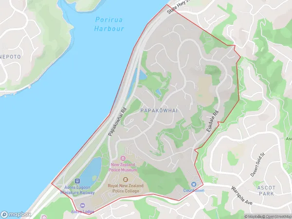
Porirua East Area Map (Polygon)
Name
PapakowhaiAdditional Name
Porirua EastLocal Authority
Porirua City
Porirua East Suburbs (Sort by Population)
Papakowhai also known as Porirua East. Papakowhai suburb has around
1.7 square
kilometers.There are more than 2325 people (estimated)
live in Papakowhai, Porirua, Wellington, New Zealand.