Papakowhai Area, Papakowhai Postcode(5024) & Map in Papakowhai
Papakowhai Area, Papakowhai Postcode(5024) & Map in Papakowhai, Porirua City, New Zealand
Papakowhai, Porirua City, New Zealand
Papakowhai Postcodes
Papakowhai Area (estimated)
1.7 square kilometersPapakowhai Population (estimated)
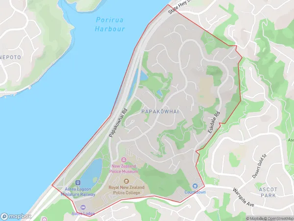
2325 people live in Papakowhai, Porirua, NZPapakowhai Suburb Area Map (Polygon)
Papakowhai Introduction
Papakowhai is a suburb of Porirua, Wellington, New Zealand. It is located on the northern shore of Porirua Harbour and is known for its beautiful beaches, native bush, and coastal walkways. The area has a rich cultural history and is home to the Papakowhai Native Reserve, which is a popular destination for nature lovers and outdoor enthusiasts.Region
Major City
Suburb Name
Papakowhai (Maori Name: Papakōwhai)Other Name(s)
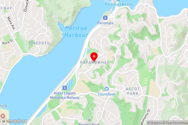
Porirua EastPapakowhai Area Map (Street)
Local Authority
Porirua CityFull Address
Papakowhai, Porirua City, New ZealandAddress Type
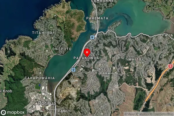
Suburb in City PoriruaPapakowhai Suburb Map (Satellite)
Country
Main Region in AU
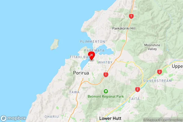
WellingtonPapakowhai Region Map
Coordinates
-41.1153164,174.8635157 (latitude/longitude)Distances
The distance from Papakowhai, Porirua, Porirua City to NZ Top 10 Cities