Woburn Suburbs & Region, Woburn Map & Postcodes in Woburn, Lower Hutt City, Wellington
Woburn Postcodes, Woburn ZipCodes, Woburn , Woburn Wellington, Woburn Suburbs, Woburn Region, Woburn Map, Woburn Area
Woburn Region (Lower Hutt Central Region)
Woburn Suburbs
Woburn is a suburb place type in Lower Hutt City, Wellington, NZ. It contains 0 suburbs or localities.Woburn Postcodes
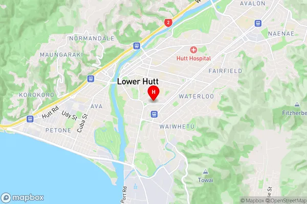
Woburn Region Map
Woburn Introduction
Woburn is a suburb of Wellington, New Zealand, located in the southern part of the city. It is known for its well-preserved historic buildings, including the Woburn Train Station and the Woburn Village Green. The suburb has a peaceful atmosphere and is popular with families and professionals. It is also home to a variety of shops, restaurants, and recreational facilities, including the Woburn Golf Club and the Woburn Park Sports Complex. Woburn is well-connected to the rest of the city by public transport, with regular buses and trains servicing the area.Woburn Region
Woburn City
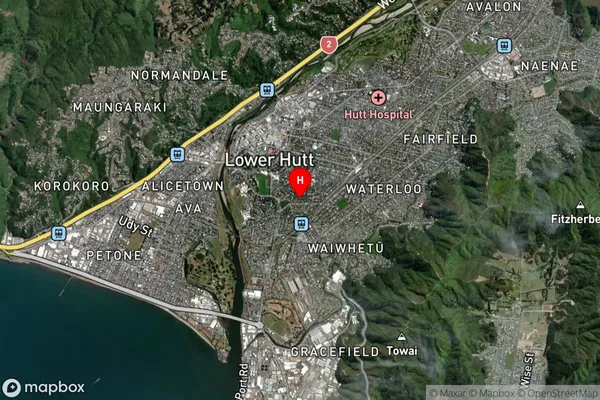
Woburn Satellite Map
Full Address
Woburn, Lower Hutt City, WellingtonWoburn Coordinates
-41.217784,174.911033 (Latitude / Longitude)Woburn Map in NZ
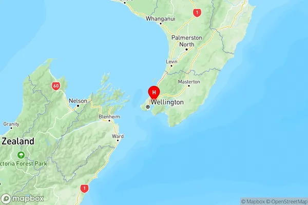
NZ Island
North IslandCountry
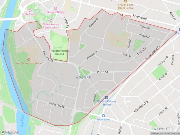
Woburn Area Map (Polygon)
Name
WoburnAdditional Name
Lower Hutt CentralLocal Authority
Lower Hutt City
Woburn Suburbs (Sort by Population)
Woburn also known as Lower Hutt Central. Woburn suburb has around
1.7 square
kilometers.There are more than 3720 people (estimated)
live in Woburn, Lower Hutt, Wellington, New Zealand.