Woburn Area, Woburn Postcode(5010) & Map in Woburn
Woburn Area, Woburn Postcode(5010) & Map in Woburn, Lower Hutt City, New Zealand
Woburn, Lower Hutt City, New Zealand
Woburn Postcodes
Woburn Area (estimated)
1.7 square kilometersWoburn Population (estimated)
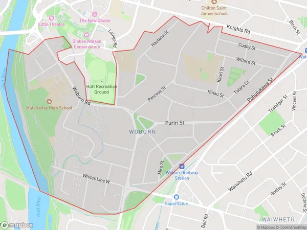
3720 people live in Woburn, Lower Hutt, NZWoburn Suburb Area Map (Polygon)
Woburn Introduction
Woburn is a suburb of Lower Hutt, Wellington, New Zealand. It is located on the southern side of the Hutt River, approximately 5 km from the city center. Woburn is known for its historic buildings, including the Woburn Train Station and the Woburn Public Library. It also has a variety of shops, cafes, and restaurants, as well as a large park and recreational facilities. Woburn is a popular residential area for families and professionals, with easy access to public transportation and the city's amenities.Region
Major City
Suburb Name
WoburnOther Name(s)
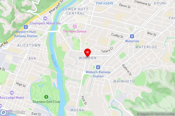
Lower Hutt CentralWoburn Area Map (Street)
Local Authority
Lower Hutt CityFull Address
Woburn, Lower Hutt City, New ZealandAddress Type
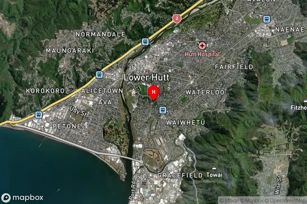
Suburb in City Lower HuttWoburn Suburb Map (Satellite)
Country
Main Region in AU
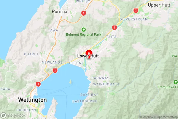
WellingtonWoburn Region Map
Coordinates
-41.2188236,174.9081481 (latitude/longitude)Distances
The distance from Woburn, Lower Hutt, Lower Hutt City to NZ Top 10 Cities