Waterloo Suburbs & Region, Waterloo Map & Postcodes in Waterloo, Lower Hutt City, Wellington
Waterloo Postcodes, Waterloo ZipCodes, Waterloo , Waterloo Wellington, Waterloo Suburbs, Waterloo Region, Waterloo Map, Waterloo Area
Waterloo Region (Lower Hutt Central Region)
Waterloo Suburbs
Waterloo is a suburb place type in Lower Hutt City, Wellington, NZ. It contains 0 suburbs or localities.Waterloo Postcodes
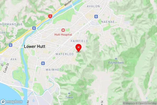
Waterloo Region Map
Waterloo Introduction
Waterloo is a suburb of Wellington, New Zealand, located in the eastern part of the city. It is known for its vibrant community, with a mix of residential areas, shops, and restaurants. The suburb is named after the famous Battle of Waterloo, which took place in nearby Brussels, Belgium, in 1815. The area has a rich history and is home to several historic buildings, including the Wellington War Memorial Museum and the Old Government Buildings. Waterloo is also well-connected to the rest of the city, with easy access to public transportation and the motorway.Waterloo Region
Waterloo City
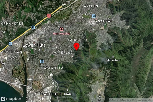
Waterloo Satellite Map
Full Address
Waterloo, Lower Hutt City, WellingtonWaterloo Coordinates
-41.215568,174.934555 (Latitude / Longitude)Waterloo Map in NZ

NZ Island
North IslandCountry
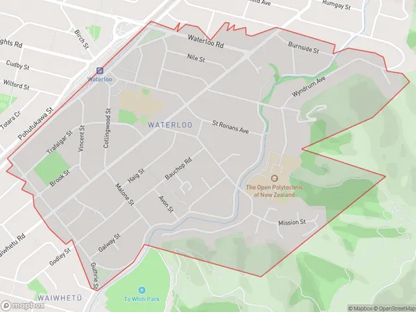
Waterloo Area Map (Polygon)
Name
WaterlooAdditional Name
Lower Hutt CentralLocal Authority
Lower Hutt City
Waterloo Suburbs (Sort by Population)
Waterloo also known as Lower Hutt Central. Waterloo suburb has around
2.0 square
kilometers.There are more than 4907 people (estimated)
live in Waterloo, Lower Hutt, Wellington, New Zealand.