Waterloo Area, Waterloo Postcode(5040) & Map in Waterloo
Waterloo Area, Waterloo Postcode(5040) & Map in Waterloo, Lower Hutt City, New Zealand
Waterloo, Lower Hutt City, New Zealand
Waterloo Area (estimated)
2.0 square kilometersWaterloo Population (estimated)
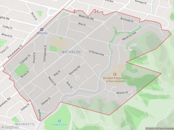
4907 people live in Waterloo, Lower Hutt, NZWaterloo Suburb Area Map (Polygon)
Waterloo Introduction
Waterloo is a suburb of Lower Hutt, Wellington, New Zealand. It is located on the southern bank of the Hutt River and is known for its historic buildings, parks, and vibrant community. The area was first settled in the 1840s and was named after the Battle of Waterloo in 1815. Today, Waterloo is a popular residential area with a mix of older homes and new developments. It is home to a variety of shops, restaurants, and cultural institutions, including the Waterloo Museum and the Lower Hutt City Library.Region
Major City
Suburb Name
WaterlooOther Name(s)
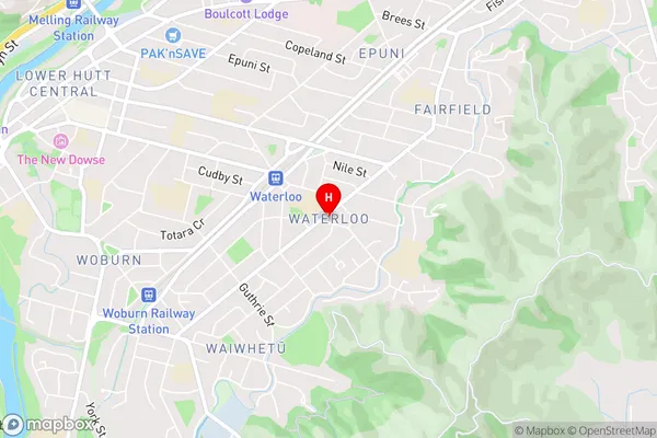
Lower Hutt CentralWaterloo Area Map (Street)
Local Authority
Lower Hutt CityFull Address
Waterloo, Lower Hutt City, New ZealandAddress Type
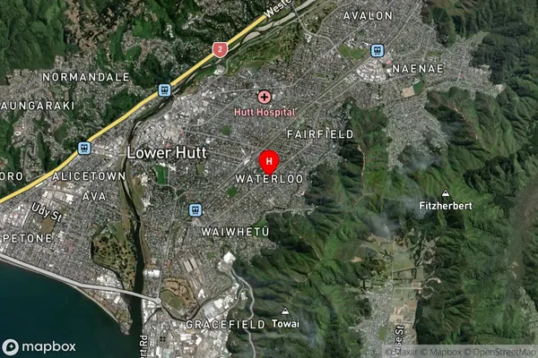
Suburb in City Lower HuttWaterloo Suburb Map (Satellite)
Country
Main Region in AU
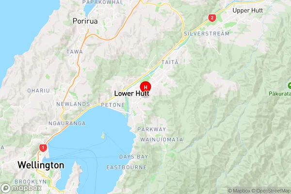
WellingtonWaterloo Region Map
Coordinates
-41.2163872,174.9253687 (latitude/longitude)Distances
The distance from Waterloo, Lower Hutt, Lower Hutt City to NZ Top 10 Cities