Wainuiomata Suburbs & Region, Wainuiomata Map & Postcodes in Wainuiomata, Lower Hutt City, Wellington
Wainuiomata Postcodes, Wainuiomata ZipCodes, Wainuiomata , Wainuiomata Wellington, Wainuiomata Suburbs, Wainuiomata Region, Wainuiomata Map, Wainuiomata Area
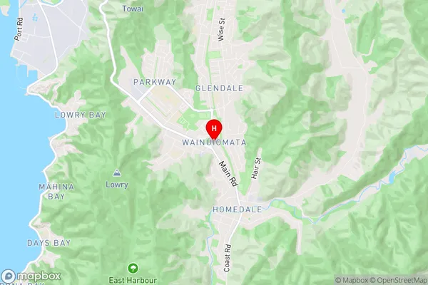
Wainuiomata Region (Arakura, Glendale, Homedale, Parkway Region)
Wainuiomata Suburbs
Wainuiomata is a suburb place type in Lower Hutt City, Wellington, NZ. It contains 0 suburbs or localities.Wainuiomata Region Map
Wainuiomata Introduction
Wainuiomata is a suburb of Wellington, New Zealand, located on the southern shore of the Wellington Harbour. It is known for its historic shipyard and for being the site of the Wainuiomata Water Race, a popular annual event. The suburb has a population of around 7,000 people and is located within the Wellington City Council area. Wainuiomata is also home to a number of significant cultural and historical sites, including the Wainuiomata Cemetery and the Wainuiomata War Memorial.Wainuiomata Region
Wainuiomata City
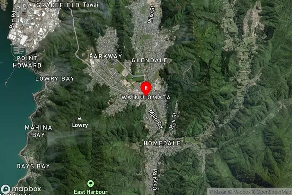
Wainuiomata Satellite Map
Full Address
Wainuiomata, Lower Hutt City, WellingtonWainuiomata Coordinates
-41.261807,174.94807 (Latitude / Longitude)Wainuiomata Map in NZ
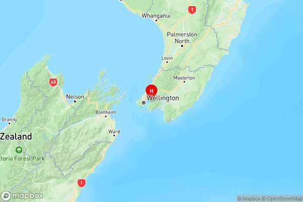
NZ Island
North IslandCountry
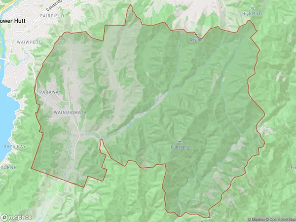
Wainuiomata Area Map (Polygon)
Name
WainuiomataAdditional Name
Arakura, Glendale, Homedale, ParkwayLocal Authority
Lower Hutt City
Wainuiomata Suburbs (Sort by Population)
Wainuiomata also known as Arakura, Glendale, Homedale, Parkway. Wainuiomata suburb has around
141.9 square
kilometers.There are more than 19814 people (estimated)
live in Wainuiomata, Lower Hutt, Wellington, New Zealand.