Wainuiomata Area, Wainuiomata Postcode(5014) & Map in Wainuiomata
Wainuiomata Area, Wainuiomata Postcode(5014) & Map in Wainuiomata, Lower Hutt City, New Zealand
Wainuiomata, Lower Hutt City, New Zealand
Wainuiomata Area (estimated)
141.9 square kilometersWainuiomata Population (estimated)
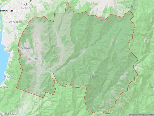
19814 people live in Wainuiomata, Lower Hutt, NZWainuiomata Suburb Area Map (Polygon)
Wainuiomata Introduction
Wainuiomata is a suburb of Lower Hutt, Wellington, New Zealand. It is located on the western shore of the Hutt River and is known for its scenic waterfront and historic village. The area has a rich history, with evidence of early Māori settlement dating back to the 13th century. Wainuiomata also has a significant military history, with several military installations located in the area during World War II. The suburb is home to a large number of cafes, restaurants, and shops, and is popular with tourists and locals alike.Region
Major City
Suburb Name
WainuiomataOther Name(s)
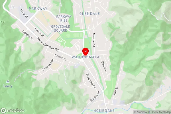
Arakura, Glendale, Homedale, ParkwayWainuiomata Area Map (Street)
Local Authority
Lower Hutt CityFull Address
Wainuiomata, Lower Hutt City, New ZealandAddress Type
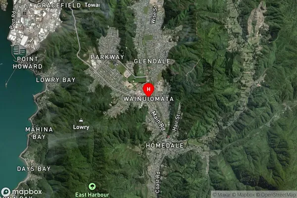
Suburb in City Lower HuttWainuiomata Suburb Map (Satellite)
Country
Main Region in AU
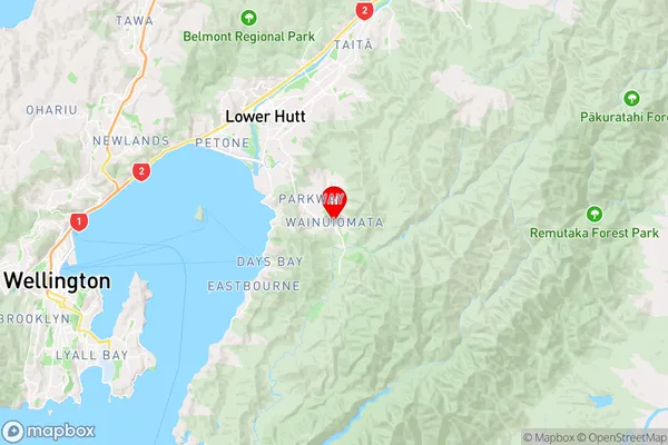
WellingtonWainuiomata Region Map
Coordinates
-41.2618075,174.9480696 (latitude/longitude)Distances
The distance from Wainuiomata, Lower Hutt, Lower Hutt City to NZ Top 10 Cities