Tirohanga Suburbs & Region, Tirohanga Map & Postcodes in Tirohanga, Lower Hutt City, Wellington
Tirohanga Postcodes, Tirohanga ZipCodes, Tirohanga , Tirohanga Wellington, Tirohanga Suburbs, Tirohanga Region, Tirohanga Map, Tirohanga Area
Tirohanga Region
Tirohanga Suburbs
Tirohanga is a suburb place type in Lower Hutt City, Wellington, NZ. It contains 0 suburbs or localities.Tirohanga Postcodes
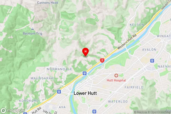
Tirohanga Region Map
Tirohanga Introduction
Tirohanga is a Māori carving located in Wellington, New Zealand, that honors the country's soldiers who fought and died in World War I. It was carved by master carver Ngatai Tuhoe and unveiled in 1919. The carving features a warrior holding a taiaha, a traditional Māori weapon, and is surrounded by carved panels that depict scenes from Māori mythology and history. Tirohanga is a significant cultural landmark and a popular tourist attraction in Wellington.Tirohanga Region
Tirohanga City
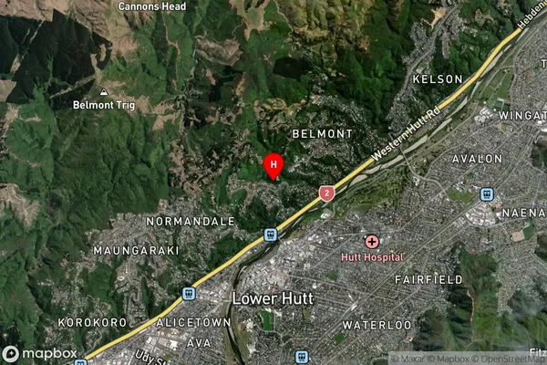
Tirohanga Satellite Map
Full Address
Tirohanga, Lower Hutt City, WellingtonTirohanga Coordinates
-41.196173,174.905938 (Latitude / Longitude)Tirohanga Map in NZ
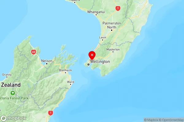
NZ Island
North IslandCountry