Tirohanga Area, Tirohanga Postcode(3122) & Map in Tirohanga
Tirohanga Area, Tirohanga Postcode(3122) & Map in Tirohanga, Taupo District, New Zealand
Tirohanga, Taupo District, New Zealand
Tirohanga Postcodes
Tirohanga Area (estimated)
93.5 square kilometersTirohanga Population (estimated)
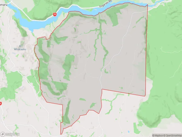
244 people live in Tirohanga, Gisborne, NZTirohanga Suburb Area Map (Polygon)
Tirohanga Introduction
Tirohanga is a Māori carving located in Gisborne, New Zealand. It was carved by master carver Hori Ahipene to honor the Māori soldiers who fought in World War I. The carving features a warrior holding a taiaha, a traditional Māori weapon. Tirohanga is a significant cultural asset and a popular tourist attraction.Region
Major City
Suburb Name
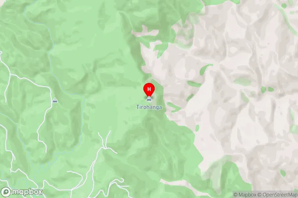
TirohangaTirohanga Area Map (Street)
Local Authority
Taupo DistrictFull Address
Tirohanga, Taupo District, New ZealandAddress Type
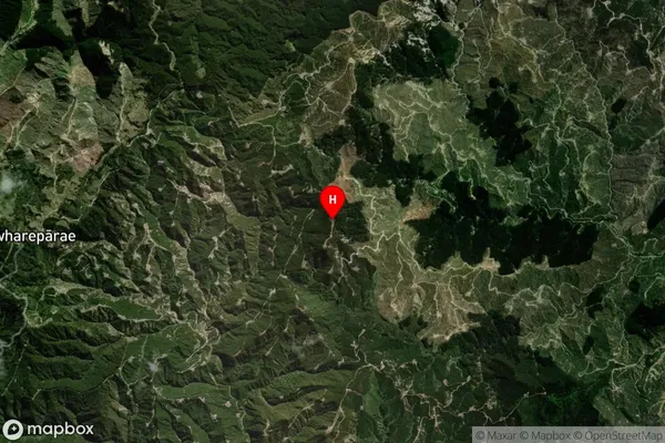
Suburb in Major Locality TirohangaTirohanga Suburb Map (Satellite)
Country
Main Region in AU
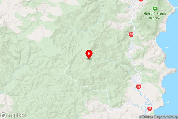
GisborneTirohanga Region Map
Coordinates
-38.270333,178.155389 (latitude/longitude)Distances
The distance from Tirohanga, Tirohanga, Taupo District to NZ Top 10 Cities