Petone Suburbs & Region, Petone Map & Postcodes in Petone, Lower Hutt City, Wellington
Petone Postcodes, Petone ZipCodes, Petone , Petone Wellington, Petone Suburbs, Petone Region, Petone Map, Petone Area
Petone Region (Lower Hutt Central, Te Puni Region)
Petone Suburbs
Petone is a suburb place type in Lower Hutt City, Wellington, NZ. It contains 0 suburbs or localities.Petone Region Map
Petone Introduction
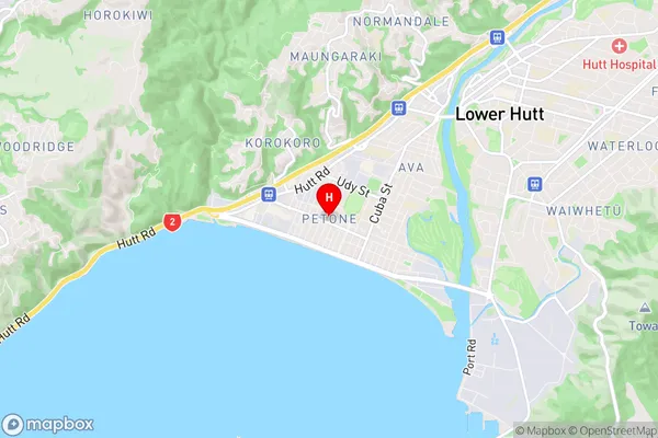
Petone is a suburb of Wellington, New Zealand, located on the southern shore of the Wellington Harbour. It is known for its historic stone buildings, including the Petone Settlers' Museum, which showcases the area's rich history. The suburb is also home to a popular beach, a marina, and several parks. Petone is a popular destination for tourists and locals alike, with its charming atmosphere and proximity to the city center.Petone Region
Petone City
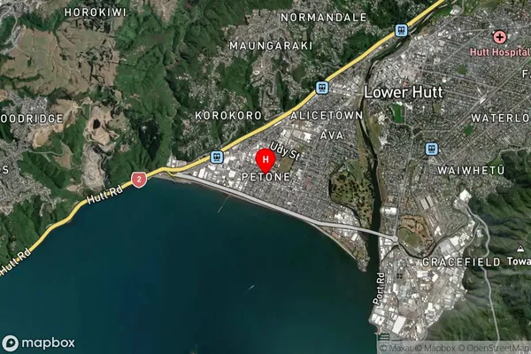
Petone Satellite Map
Full Address
Petone, Lower Hutt City, WellingtonPetone Coordinates
-41.224967,174.879035 (Latitude / Longitude)Petone Map in NZ

NZ Island
North IslandCountry
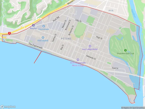
Petone Area Map (Polygon)
Name
PetoneAdditional Name
Lower Hutt Central, Te PuniLocal Authority
Lower Hutt City
Petone Suburbs (Sort by Population)
Petone also known as Lower Hutt Central, Te Puni. Petone suburb has around
4.4 square
kilometers.There are more than 8222 people (estimated)
live in Petone, Lower Hutt, Wellington, New Zealand.