Petone Area, Petone Postcode(5012) & Map in Petone
Petone Area, Petone Postcode(5012) & Map in Petone, Lower Hutt City, New Zealand
Petone, Lower Hutt City, New Zealand
Petone Area (estimated)
4.4 square kilometersPetone Population (estimated)
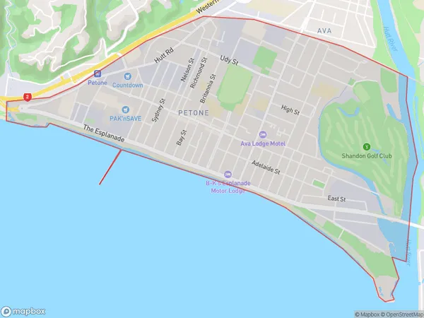
8222 people live in Petone, Lower Hutt, NZPetone Suburb Area Map (Polygon)
Petone Introduction
Petone is a suburb of Lower Hutt, Wellington, New Zealand. It is located on the southern shore of the Hutt River and is known for its historic stone buildings and vibrant community. The suburb has a population of around 8,000 people and is home to a variety of shops, restaurants, and recreational facilities. Petone is also well-connected to other parts of Wellington via public transport, with a train station located within the suburb.Region
Major City
Suburb Name
PetoneOther Name(s)
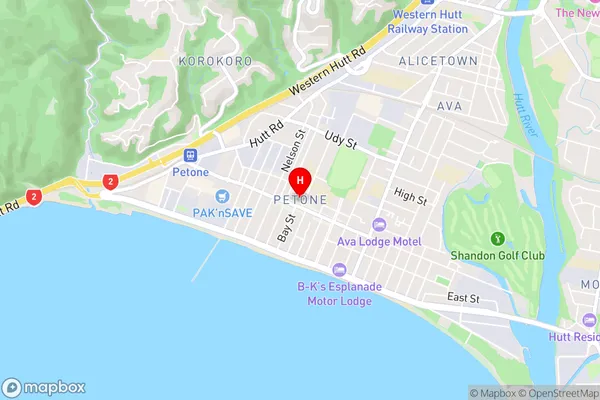
Lower Hutt Central, Te PuniPetone Area Map (Street)
Local Authority
Lower Hutt CityFull Address
Petone, Lower Hutt City, New ZealandAddress Type
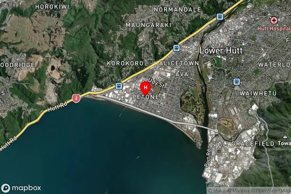
Suburb in City Lower HuttPetone Suburb Map (Satellite)
Country
Main Region in AU
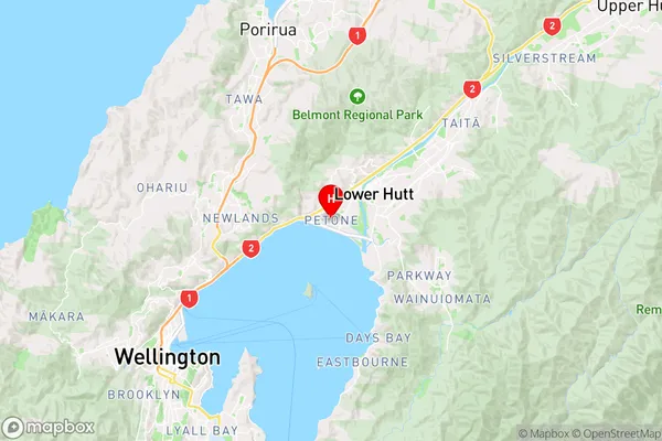
WellingtonPetone Region Map
Coordinates
-41.2249675,174.8790351 (latitude/longitude)Distances
The distance from Petone, Lower Hutt, Lower Hutt City to NZ Top 10 Cities