Normandale Suburbs & Region, Normandale Map & Postcodes in Normandale, Lower Hutt City, Wellington
Normandale Postcodes, Normandale ZipCodes, Normandale , Normandale Wellington, Normandale Suburbs, Normandale Region, Normandale Map, Normandale Area
Normandale Region
Normandale Suburbs
Normandale is a suburb place type in Lower Hutt City, Wellington, NZ. It contains 0 suburbs or localities.Normandale Postcodes
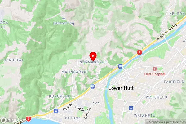
Normandale Region Map
Normandale Introduction
Normandale is a suburb of Wellington, New Zealand, located in the eastern part of the city. It is known for its peaceful atmosphere, well-maintained homes, and convenient location. The suburb is surrounded by lush green parks and recreational facilities, including the Normandale Park and Golf Course. Normandale is also home to a variety of shops, restaurants, and cafes, making it a popular destination for locals and visitors alike. The area has a strong sense of community spirit, with regular events and activities organized by the Normandale Community Association.Normandale Region
Normandale City
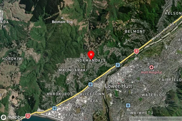
Normandale Satellite Map
Full Address
Normandale, Lower Hutt City, WellingtonNormandale Coordinates
-41.201698,174.890261 (Latitude / Longitude)Normandale Map in NZ

NZ Island
North IslandCountry
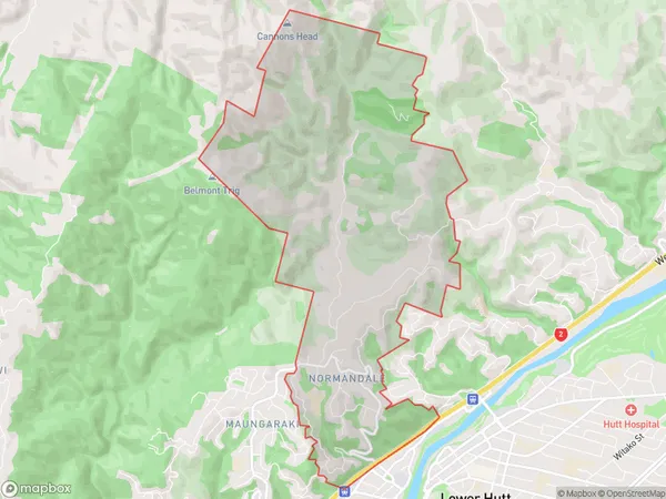
Normandale Area Map (Polygon)
Name
NormandaleAdditional Name
Local Authority
Lower Hutt City
Normandale Suburbs (Sort by Population)
Normandale suburb has around
8.3 square
kilometers.There are more than 2002 people (estimated)
live in Normandale, Lower Hutt, Wellington, New Zealand.