Normandale Area, Normandale Postcode(5045) & Map in Normandale
Normandale Area, Normandale Postcode(5045) & Map in Normandale, Lower Hutt City, New Zealand
Normandale, Lower Hutt City, New Zealand
Normandale Area (estimated)
8.3 square kilometersNormandale Population (estimated)
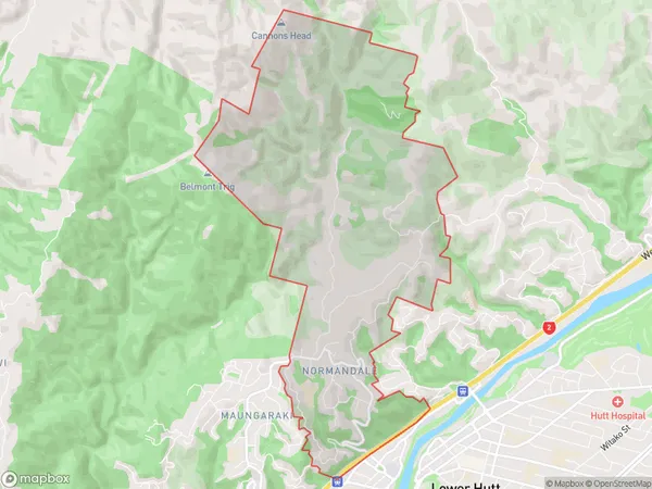
2002 people live in Normandale, Lower Hutt, NZNormandale Suburb Area Map (Polygon)
Normandale Introduction
Normandale is a suburb of Lower Hutt, Wellington, New Zealand. It is located on the southern shore of the Hutt River, approximately 5 kilometers from the city center. The suburb has a mix of residential and commercial properties, with a large shopping center, a hospital, and several schools. Normandale is known for its peaceful atmosphere and scenic surroundings, with many parks and recreational facilities. It is also home to a number of historic buildings, including the Normandale Hotel and the St. George's Anglican Church.Region
Major City
Suburb Name
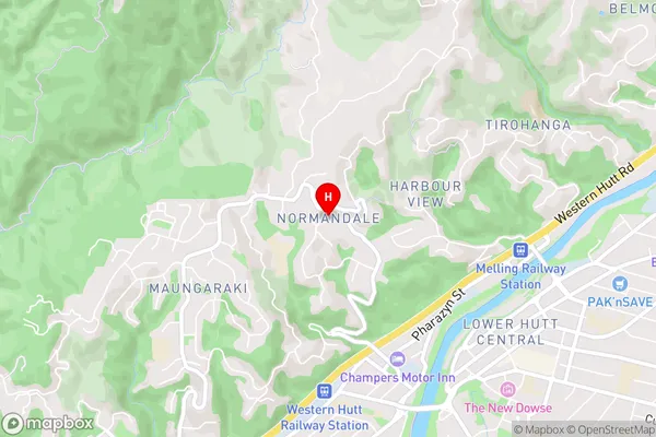
NormandaleNormandale Area Map (Street)
Local Authority
Lower Hutt CityFull Address
Normandale, Lower Hutt City, New ZealandAddress Type
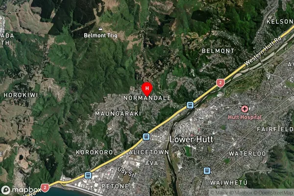
Suburb in City Lower HuttNormandale Suburb Map (Satellite)
Country
Main Region in AU
WellingtonNormandale Region Map

Coordinates
-41.2016977,174.8902612 (latitude/longitude)Distances
The distance from Normandale, Lower Hutt, Lower Hutt City to NZ Top 10 Cities