Moera Suburbs & Region, Moera Map & Postcodes in Moera, Lower Hutt City, Wellington
Moera Postcodes, Moera ZipCodes, Moera , Moera Wellington, Moera Suburbs, Moera Region, Moera Map, Moera Area
Moera Region
Moera Suburbs
Moera is a suburb place type in Lower Hutt City, Wellington, NZ. It contains 0 suburbs or localities.Moera Postcodes
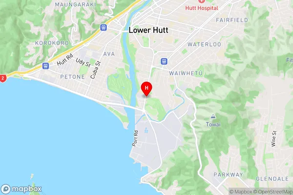
Moera Region Map
Moera Introduction
Moera is a suburb of Wellington, New Zealand, located on the southern coast of the North Island. It is known for its beautiful beaches, historic buildings, and vibrant community. The suburb has a population of around 10,000 people and is located approximately 10 kilometers south of Wellington's central business district. Moera has a rich history, with many of its buildings dating back to the 19th century. It was originally a farming community, but it has since developed into a popular residential area with a mix of modern homes and historic buildings. The suburb is surrounded by stunning natural scenery, including the Moera Estuary and the Kapiti Coast. It is also home to a number of popular attractions, including the Moera Aquatic Centre, the Moera Racecourse, and the Moera Beach Golf Club.Moera Region
Moera City
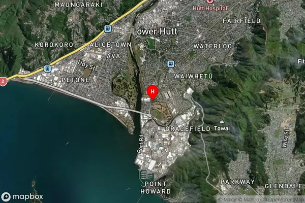
Moera Satellite Map
Full Address
Moera, Lower Hutt City, WellingtonMoera Coordinates
-41.230437,174.905086 (Latitude / Longitude)Moera Map in NZ

NZ Island
North IslandCountry
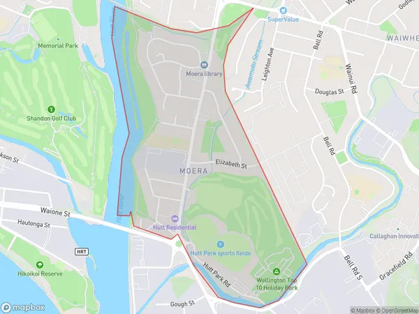
Moera Area Map (Polygon)
Name
MoeraAdditional Name
Local Authority
Lower Hutt City
Moera Suburbs (Sort by Population)
Moera suburb has around
1.2 square
kilometers.There are more than 1850 people (estimated)
live in Moera, Lower Hutt, Wellington, New Zealand.