Moera Area, Moera Postcode(5010) & Map in Moera
Moera Area, Moera Postcode(5010) & Map in Moera, Lower Hutt City, New Zealand
Moera, Lower Hutt City, New Zealand
Moera Postcodes
Moera Area (estimated)
1.2 square kilometersMoera Population (estimated)
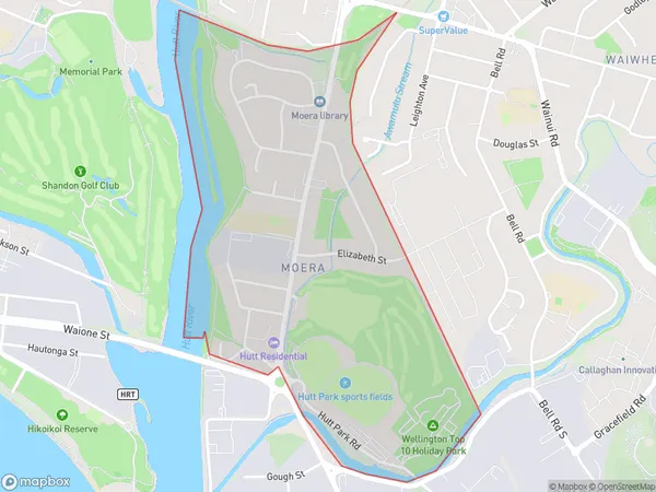
1850 people live in Moera, Lower Hutt, NZMoera Suburb Area Map (Polygon)
Moera Introduction
Moera is a suburb of Lower Hutt, Wellington, New Zealand. It is located on the southern shore of the Hutt River and is known for its beautiful beaches, parks, and recreational facilities. The suburb has a population of around 6,000 people and is a popular destination for families and young professionals. It is also home to a number of significant historical sites, including the Moera War Memorial and the Moera Pottery.Region
Major City
Suburb Name
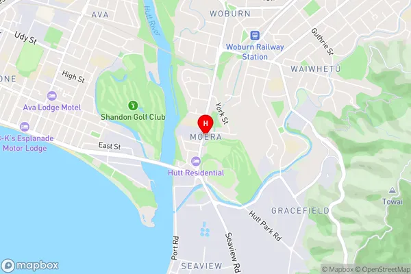
MoeraMoera Area Map (Street)
Local Authority
Lower Hutt CityFull Address
Moera, Lower Hutt City, New ZealandAddress Type
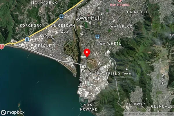
Suburb in City Lower HuttMoera Suburb Map (Satellite)
Country
Main Region in AU
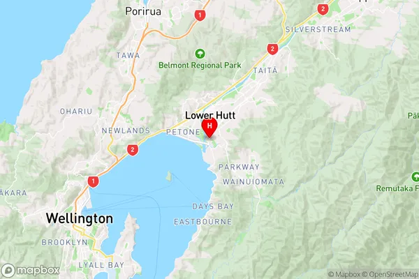
WellingtonMoera Region Map
Coordinates
-41.2304373,174.9050859 (latitude/longitude)Distances
The distance from Moera, Lower Hutt, Lower Hutt City to NZ Top 10 Cities