Melling Suburbs & Region, Melling Map & Postcodes in Melling, Lower Hutt City, Wellington
Melling Postcodes, Melling ZipCodes, Melling , Melling Wellington, Melling Suburbs, Melling Region, Melling Map, Melling Area
Melling Region (Lower Hutt Central Region)
Melling Suburbs
Melling is a suburb place type in Lower Hutt City, Wellington, NZ. It contains 0 suburbs or localities.Melling Postcodes
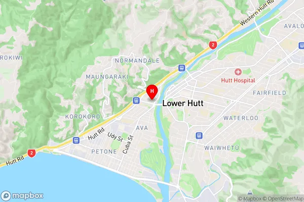
Melling Region Map
Melling Introduction
Melling is a suburb of Wellington, New Zealand, located in the eastern part of the city. It is known for its vibrant community, well-maintained parks, and convenient location. The suburb has a mix of residential areas and commercial spaces, including the Melling Shopping Centre and the Melling railway station. Melling is also home to a variety of cultural institutions, such as the Melling Library and the Melling Community Centre. The area is popular with families and young professionals due to its affordable housing, good schools, and proximity to the city's amenities.Melling Region
Melling City
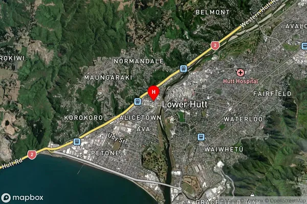
Melling Satellite Map
Full Address
Melling, Lower Hutt City, WellingtonMelling Coordinates
-41.212009,174.895311 (Latitude / Longitude)Melling Map in NZ
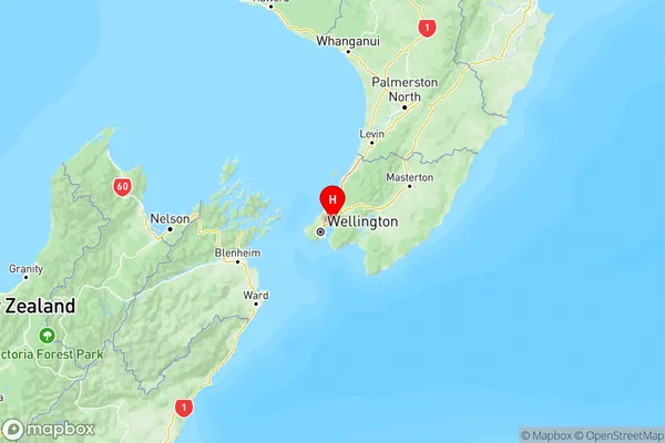
NZ Island
North IslandCountry
Melling Area Map (Polygon)

Name
MellingAdditional Name
Lower Hutt CentralLocal Authority
Lower Hutt City
Melling Suburbs (Sort by Population)
Melling also known as Lower Hutt Central. Melling suburb has around
0.5 square
kilometers.There are more than 705 people (estimated)
live in Melling, Lower Hutt, Wellington, New Zealand.