Melling Area, Melling Postcode(5040) & Map in Melling
Melling Area, Melling Postcode(5040) & Map in Melling, Lower Hutt City, New Zealand
Melling, Lower Hutt City, New Zealand
Melling Area (estimated)
0.5 square kilometersMelling Population (estimated)
705 people live in Melling, Lower Hutt, NZMelling Suburb Area Map (Polygon)

Melling Introduction
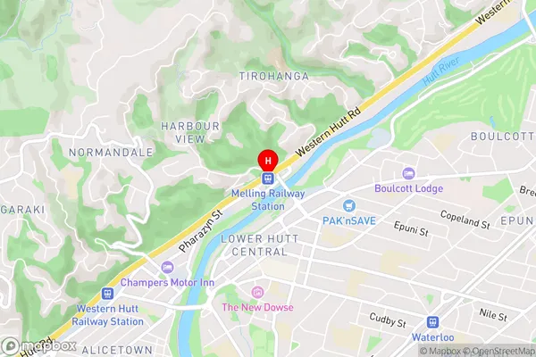
Melling is a suburb of Lower Hutt, Wellington, New Zealand. It is located in the eastern part of the city and is known for its large population and diverse cultural community. The suburb has a variety of shops, restaurants, and recreational facilities, including Melling Train Station and Melling Park. Melling is also home to a number of significant historical sites, including the Melling Hospital and the Melling Villa.Region
Major City
Suburb Name
MellingOther Name(s)
Lower Hutt CentralMelling Area Map (Street)
Local Authority
Lower Hutt CityFull Address
Melling, Lower Hutt City, New ZealandAddress Type
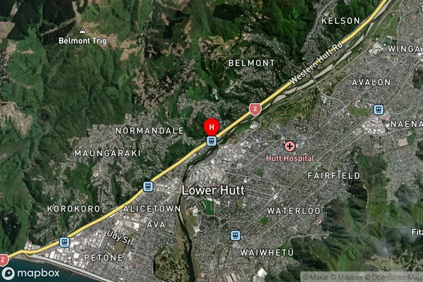
Suburb in City Lower HuttMelling Suburb Map (Satellite)
Country
Main Region in AU
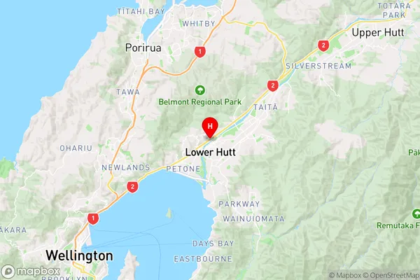
WellingtonMelling Region Map
Coordinates
-41.2035713,174.9053959 (latitude/longitude)Distances
The distance from Melling, Lower Hutt, Lower Hutt City to NZ Top 10 Cities